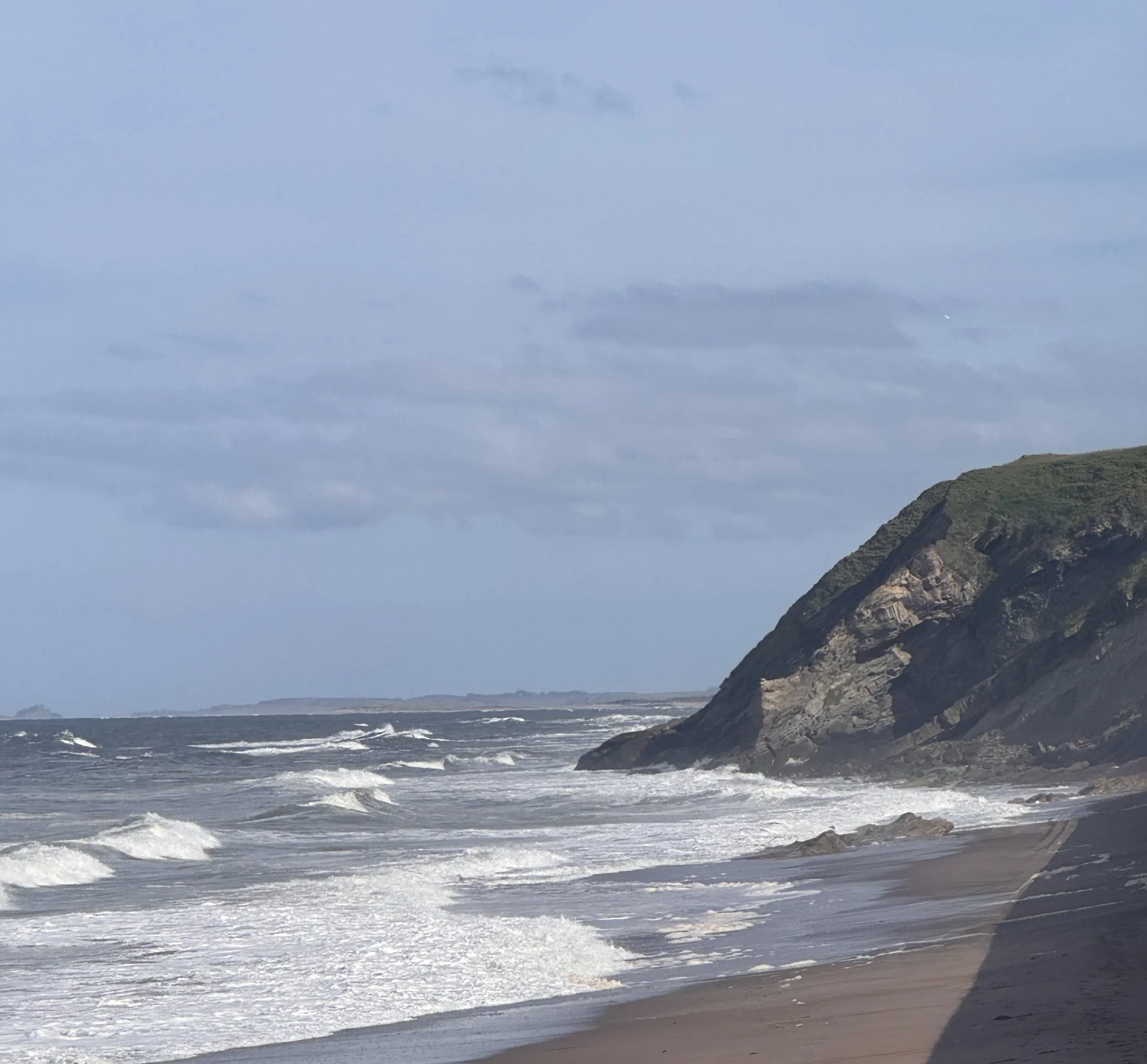
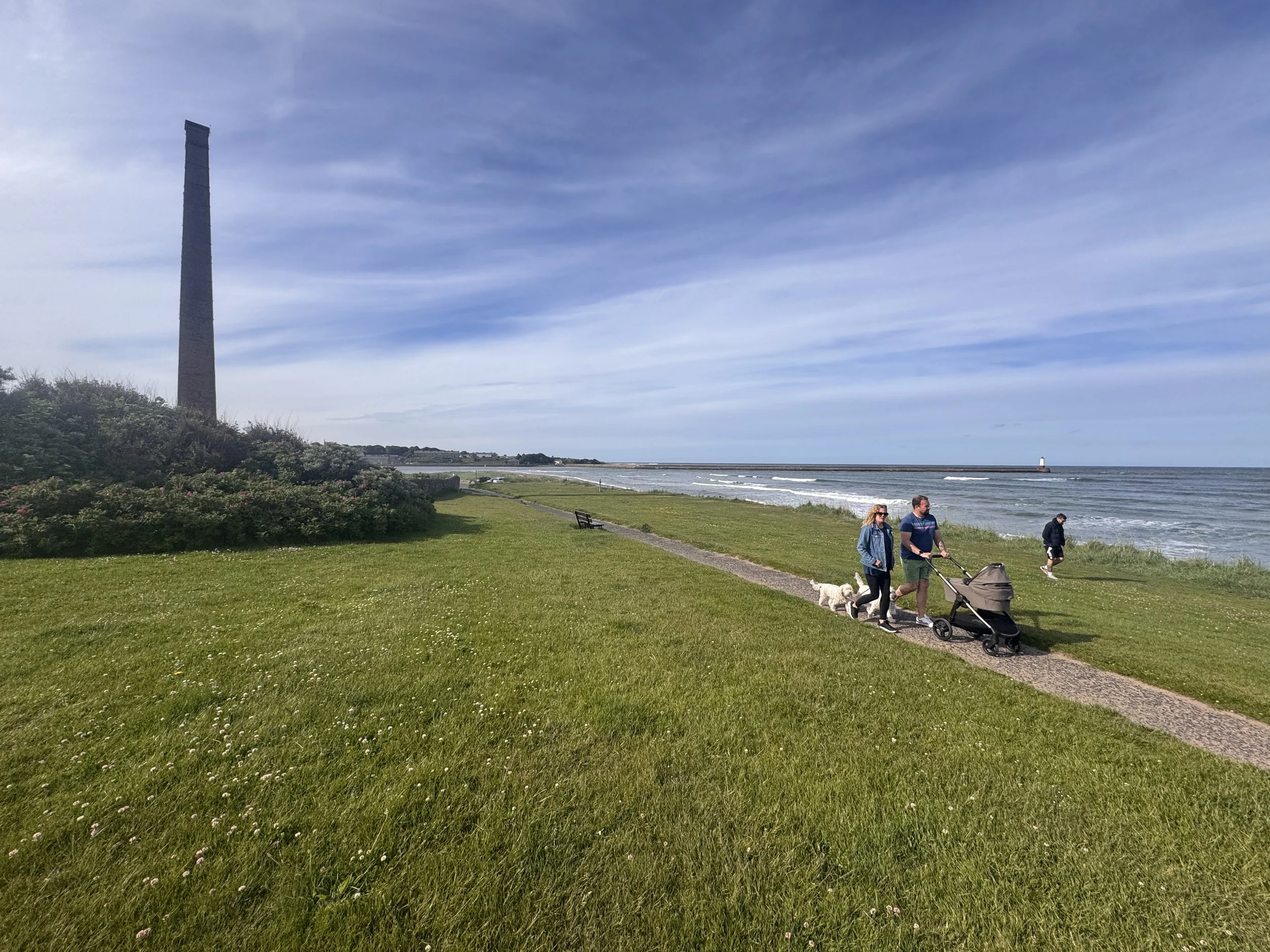
I opted for a taxi off the island this morning instead of walking back over the sands, and then a little extra just to get over some probable squelchy wet ground on the mainland. After the ride with a very chatty and ice-cream eating driver (“I always get an ice-cream when I drive to the island, my little thing I do.”), it was refreshing to be back out on the trail with the energy of the wind and waves all around, heading north on the North Northumberland coast to the most northernly English town of Berwick. It was a lovely 9 miles with gentle weather: not too hot nor cold, sufficiently breezy to have scents of the plants and ocean swirling in the air, sunny enough for glasses but not glaring brightness.
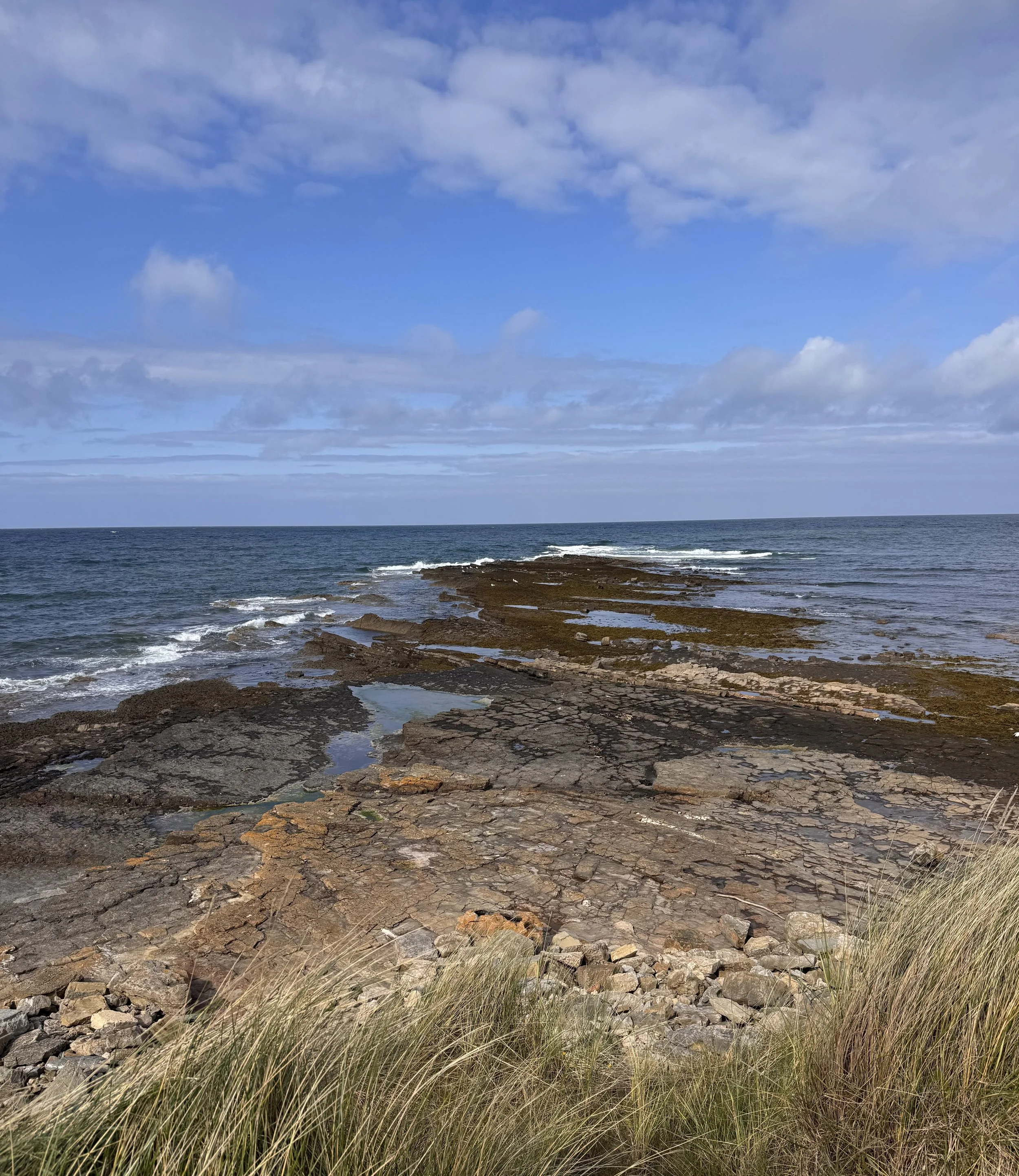
The interesting rock formations continued that I had seen on Holy Island, or at least they looked similar to the granitic Whin Sill I’ve been seeing all over Northumberland. But I have sketchy geologic skills; to me they just looked big, impressive and pretty. The path went near the ocean most of the time, and now I’m walking with the crashing waves on my right. Way back on the South West Coast Path of Cornwall and Devon, the waves were always on my left. Doesn’t seem like I would really notice the difference, but for three weeks back in April the water was visually and audibly on one side, then for 8 weeks no ocean at all, now its popped back but on my right. It’s disconcerting. And that’s interesting; how quickly my senses relied upon a pattern, and now it’s gone wonky. I’m sure they’ll settle in to this new way in a couple of days.
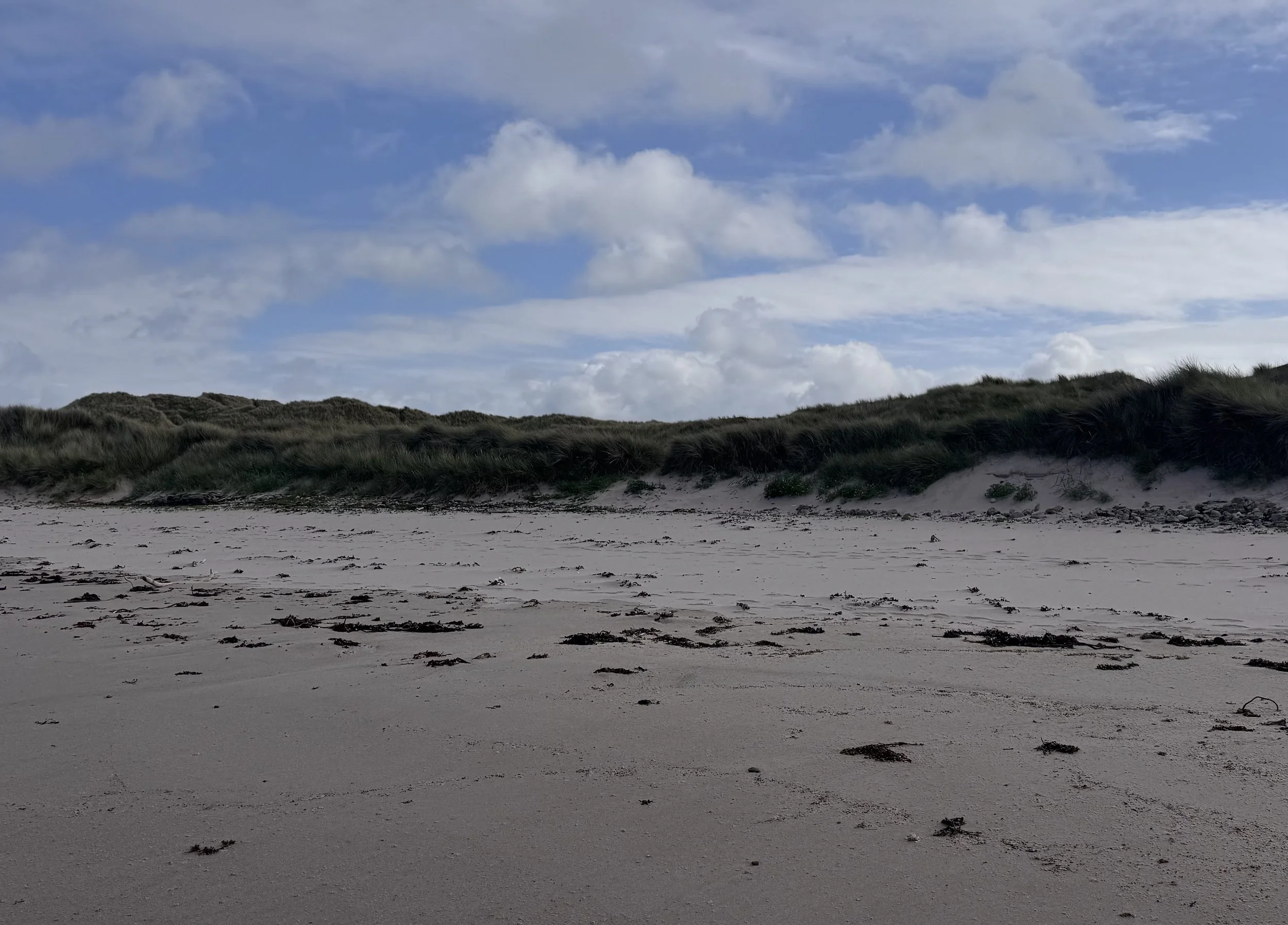
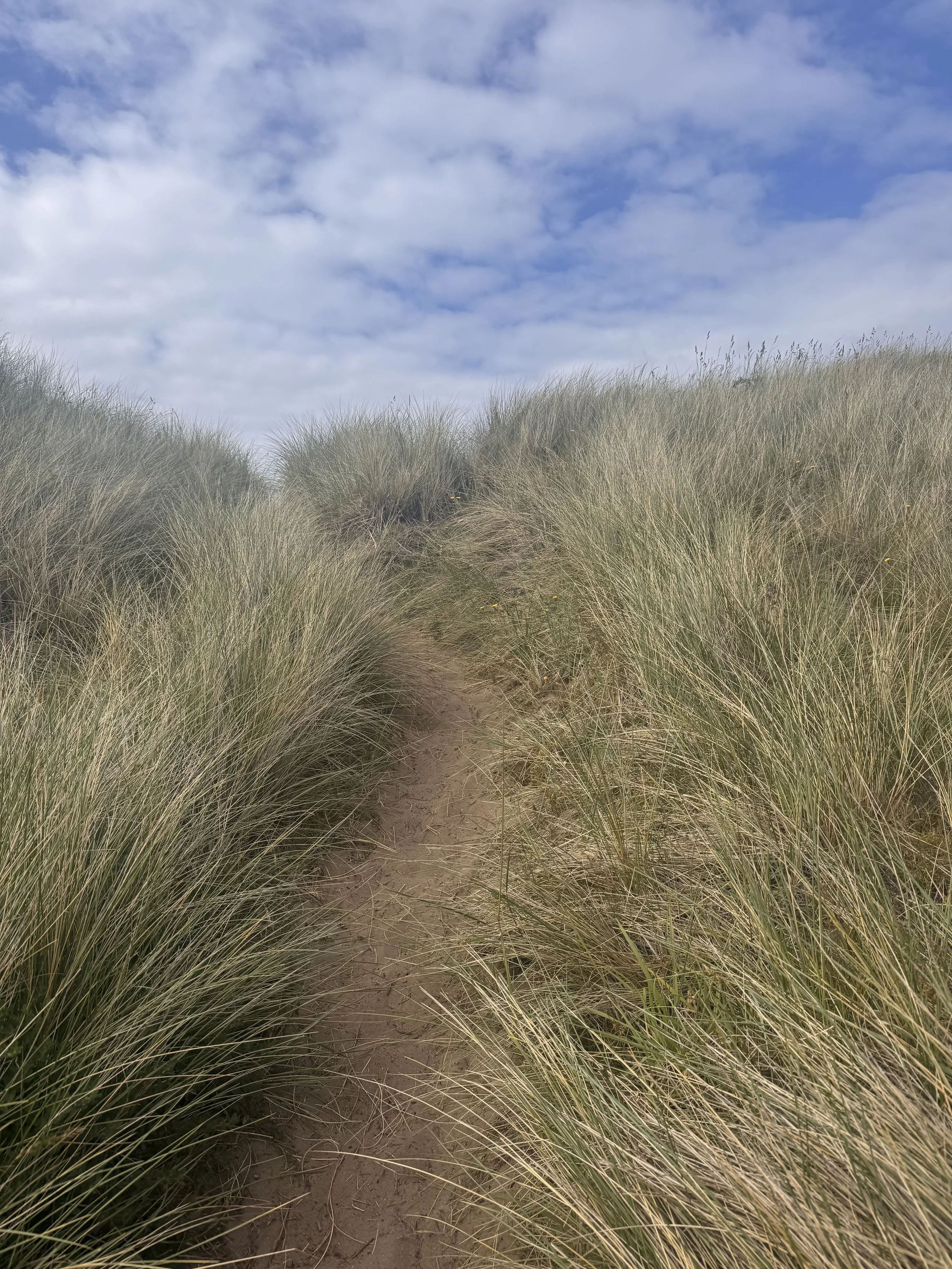
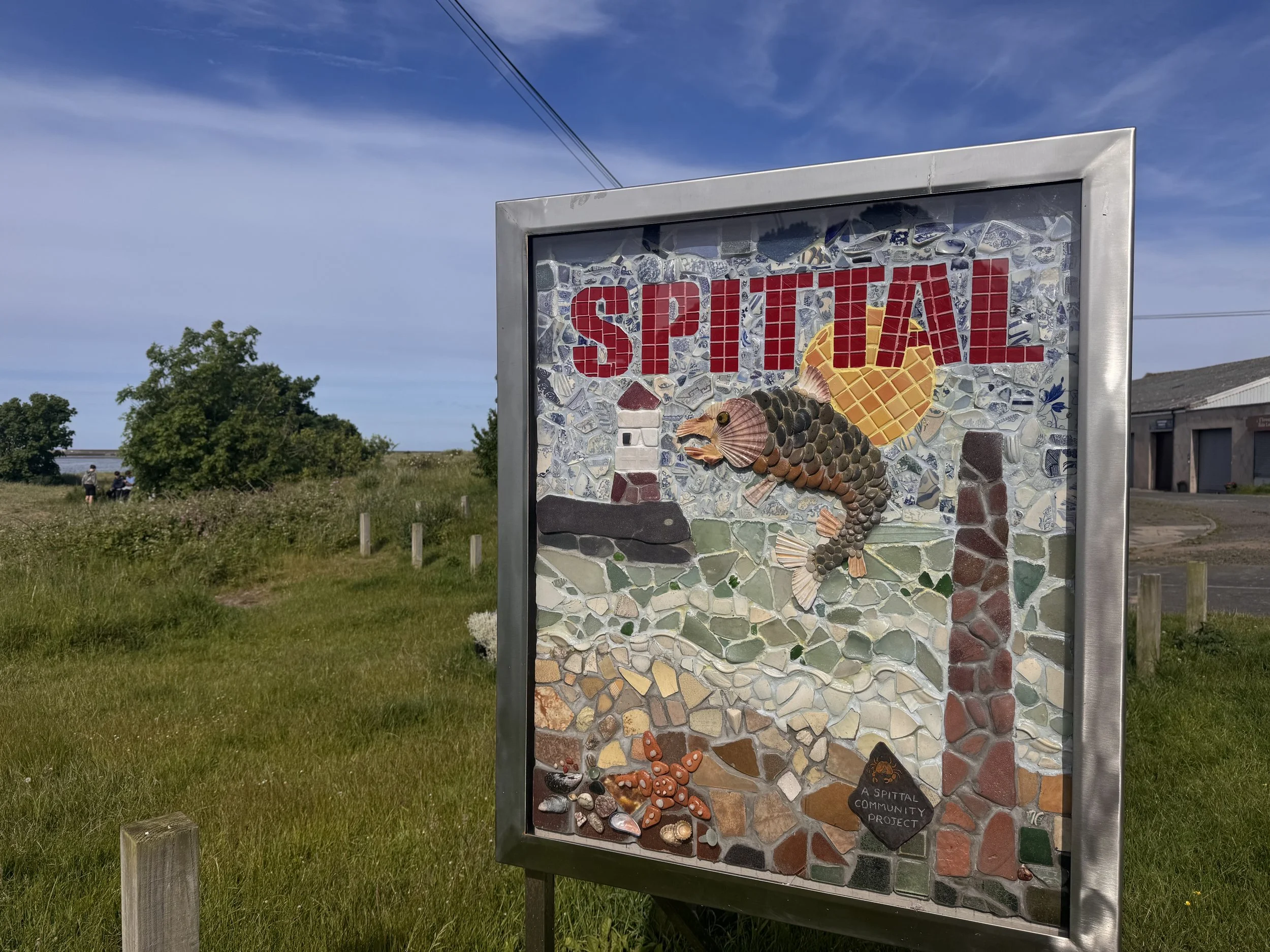
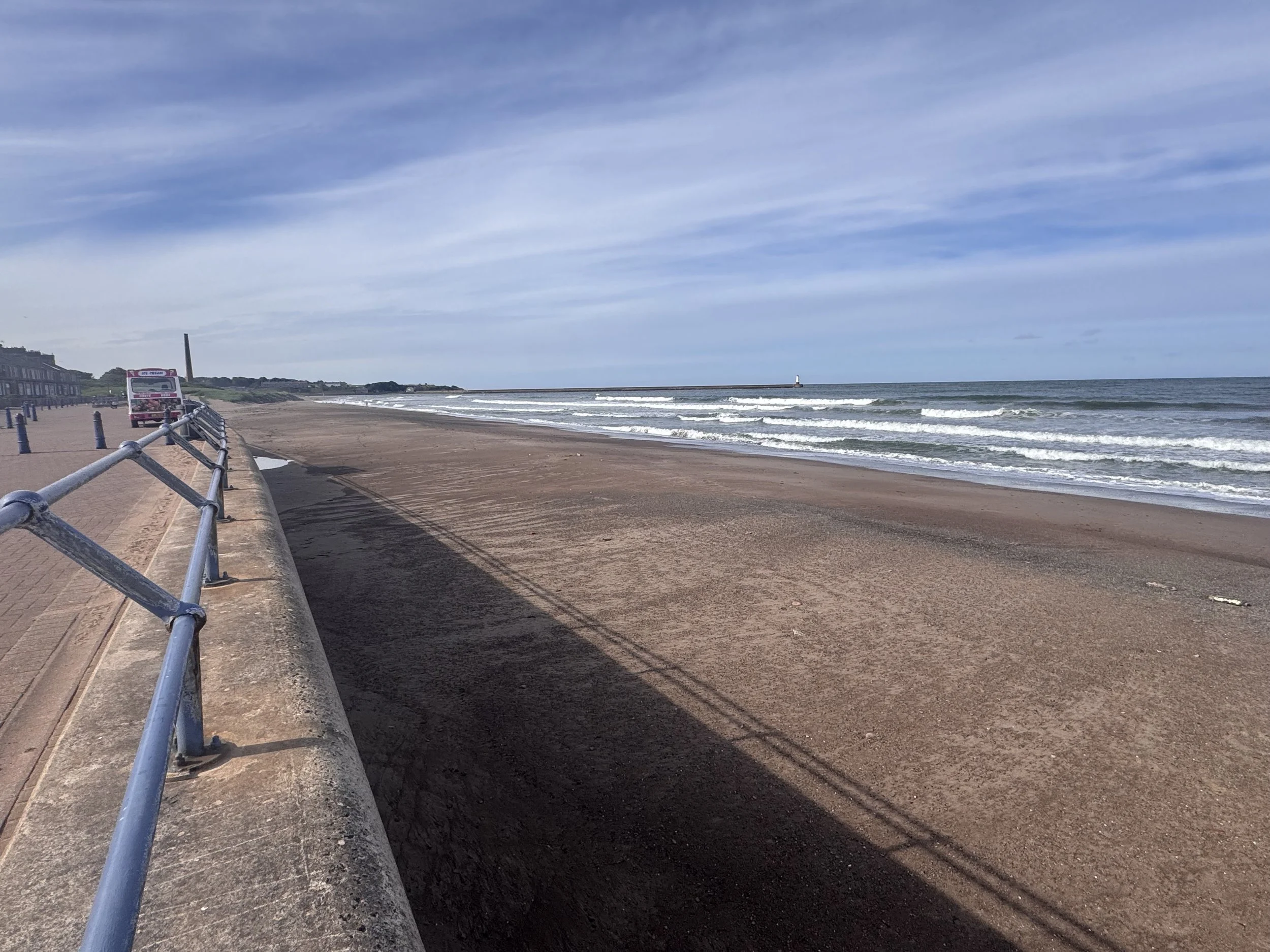
The walk today was straightforward, a few dunes, a couple beaches, not too much elevation change, great views, many birds, well marked with footpath signs, turned a little inland a bit near a golf course and a pond. Happy to find an ice-cream van at Cocklawburn Beach. Eventually I came to the town of Spittal, with its long beach. This was a busy seaside resort 100 years ago; amazingly concurrent with it being a major producer of heavy industrial chemicals (sulfuric acid and fertilizers) on the marshes right next to the beach due to the winds taking the noxious odors out to sea. Before that it was a prosperous herring fishery for hundreds of years, and back in the 12th century it was the home of the area’s leper hospital, thus the name Spittal (a medieval shortening of ‘hospital’). Now it seems like a sweet, sleepy small town full of dog walkers, parents with young children, and older couples strolling along the Victorian promenade. When I walk though places like this, that have seen such a varied history on the exact same ground, I am reminded of a favorite book when my children were little called “A Street Through Time”. It described a fictional street through the ages, as you turned each page you’d see a Stone Age settlement become a Bronze Age one, to Roman, to Anglo Saxon, to Viking, to Norman, and so on. We always remarked the book’s concept only works in a few places, one where there is documented human history for thousands of years. England is a perfect place. And today I walked along a real street, or beach, through time. What would it be like to have time collapsed and all the people who have called this place home here together, just for a little while? It would be unrecognizable, I think. Things change, but it’s hard to imagine how dramatically when you’re out walking with your dog and baby on a nice afternoon. I appreciate all the interpretative signs to help me picture it all.
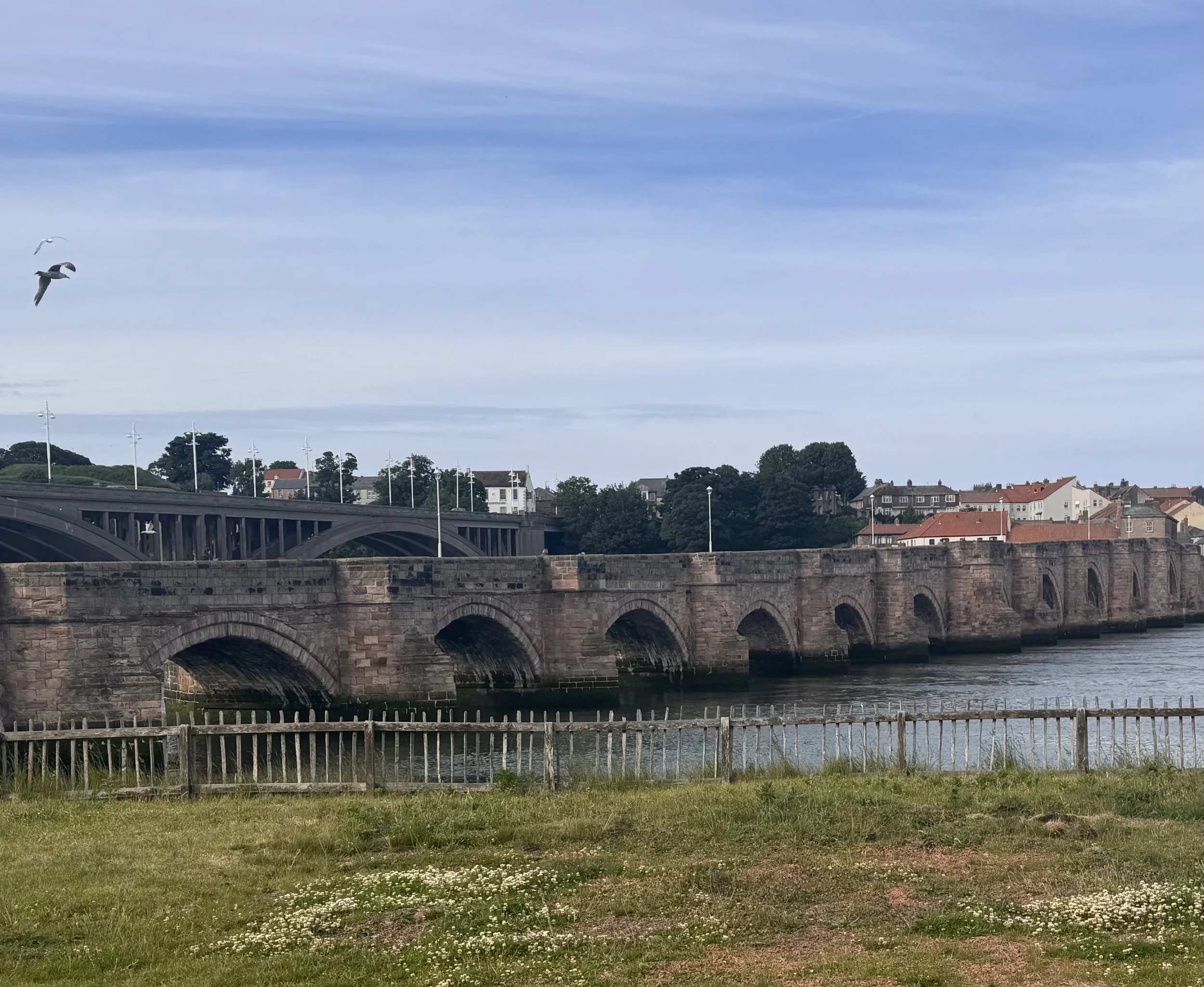
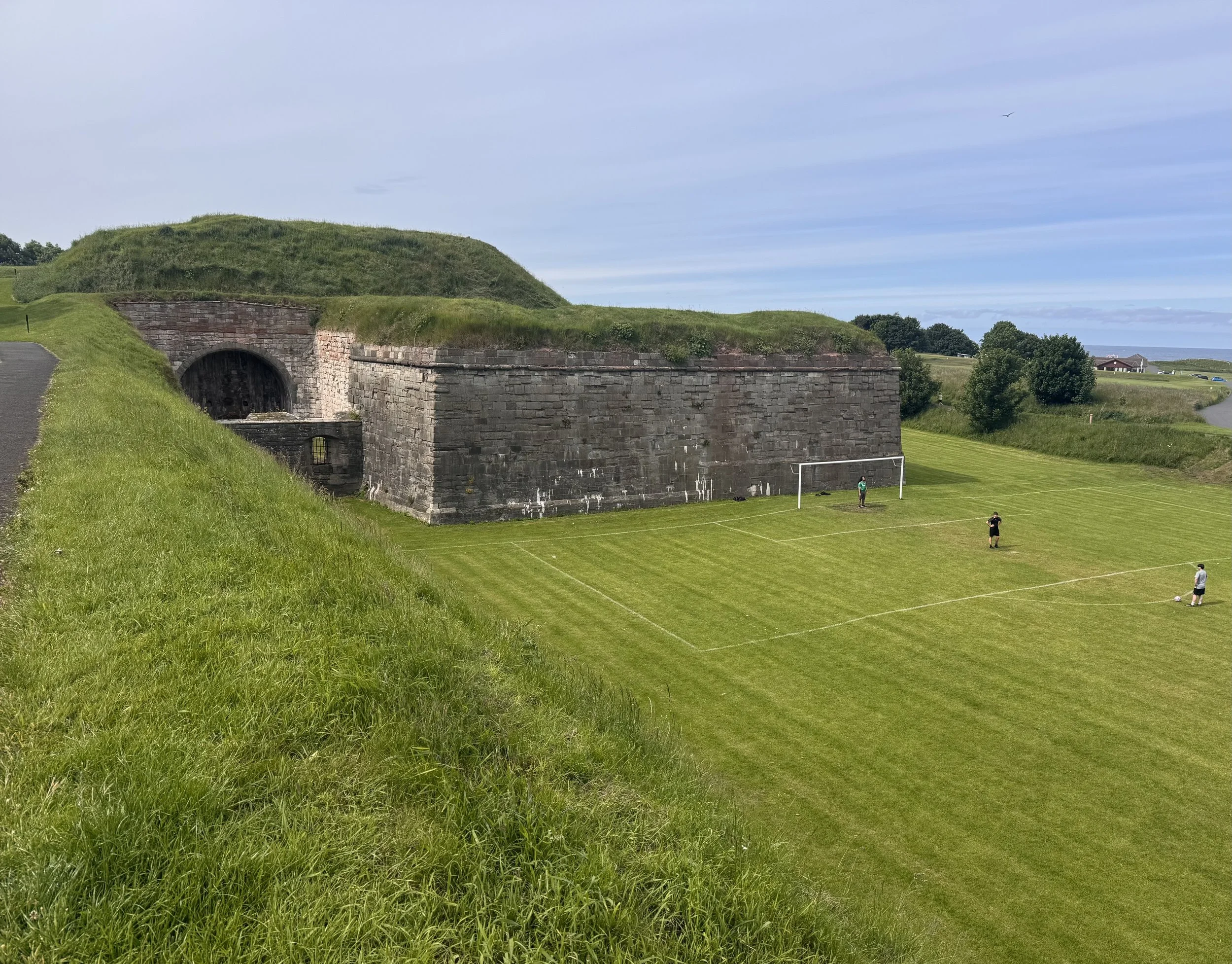
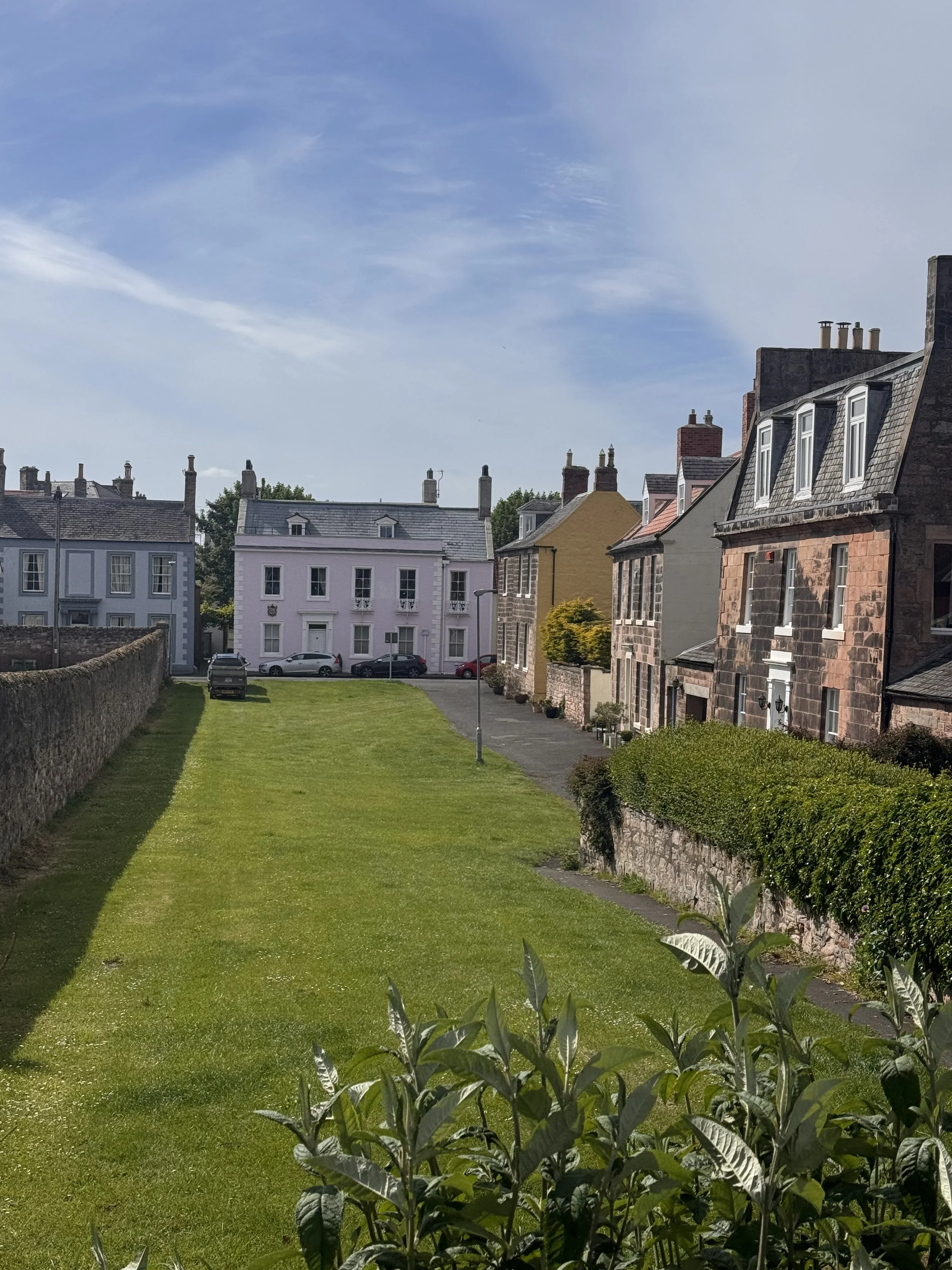
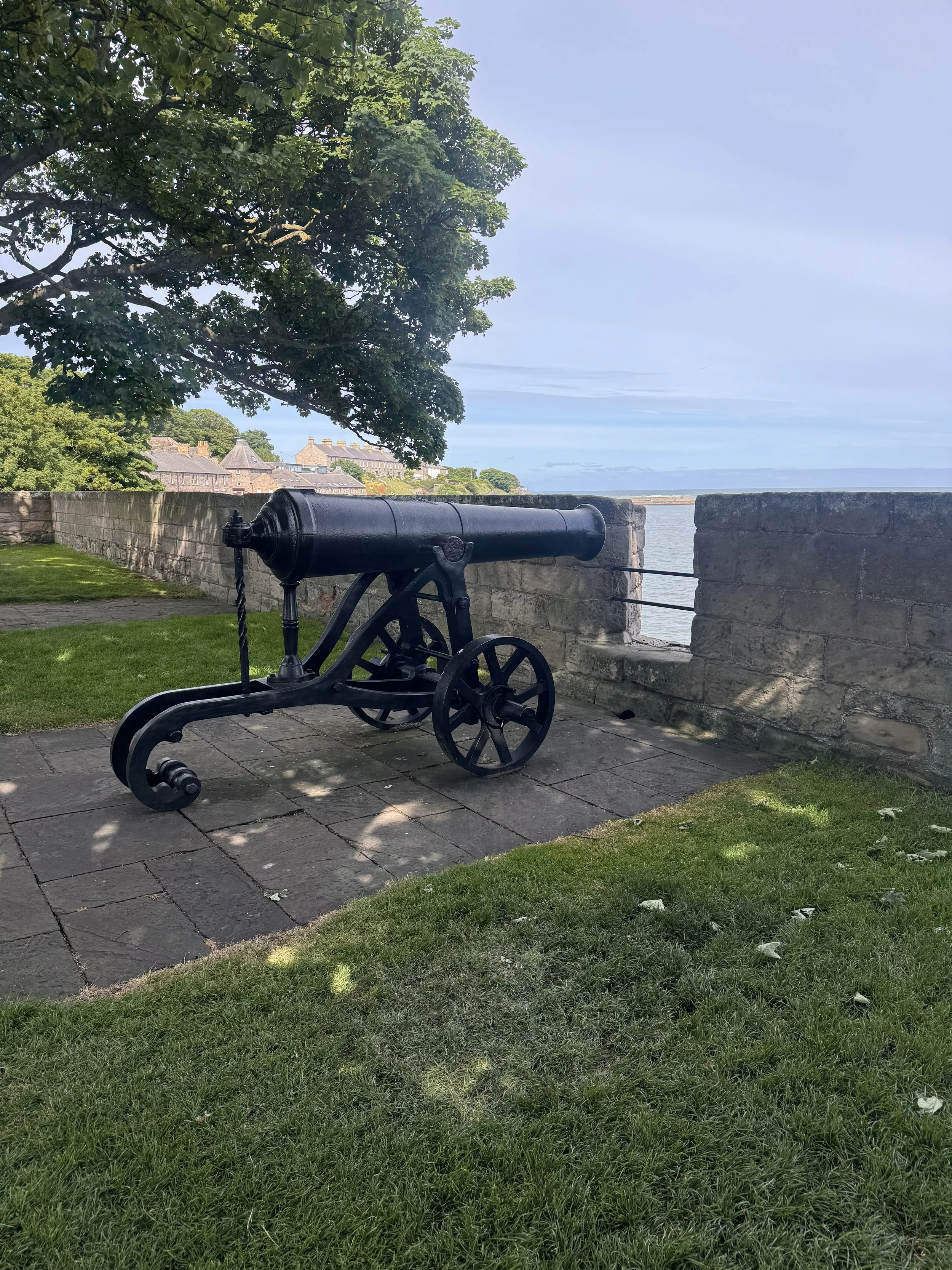
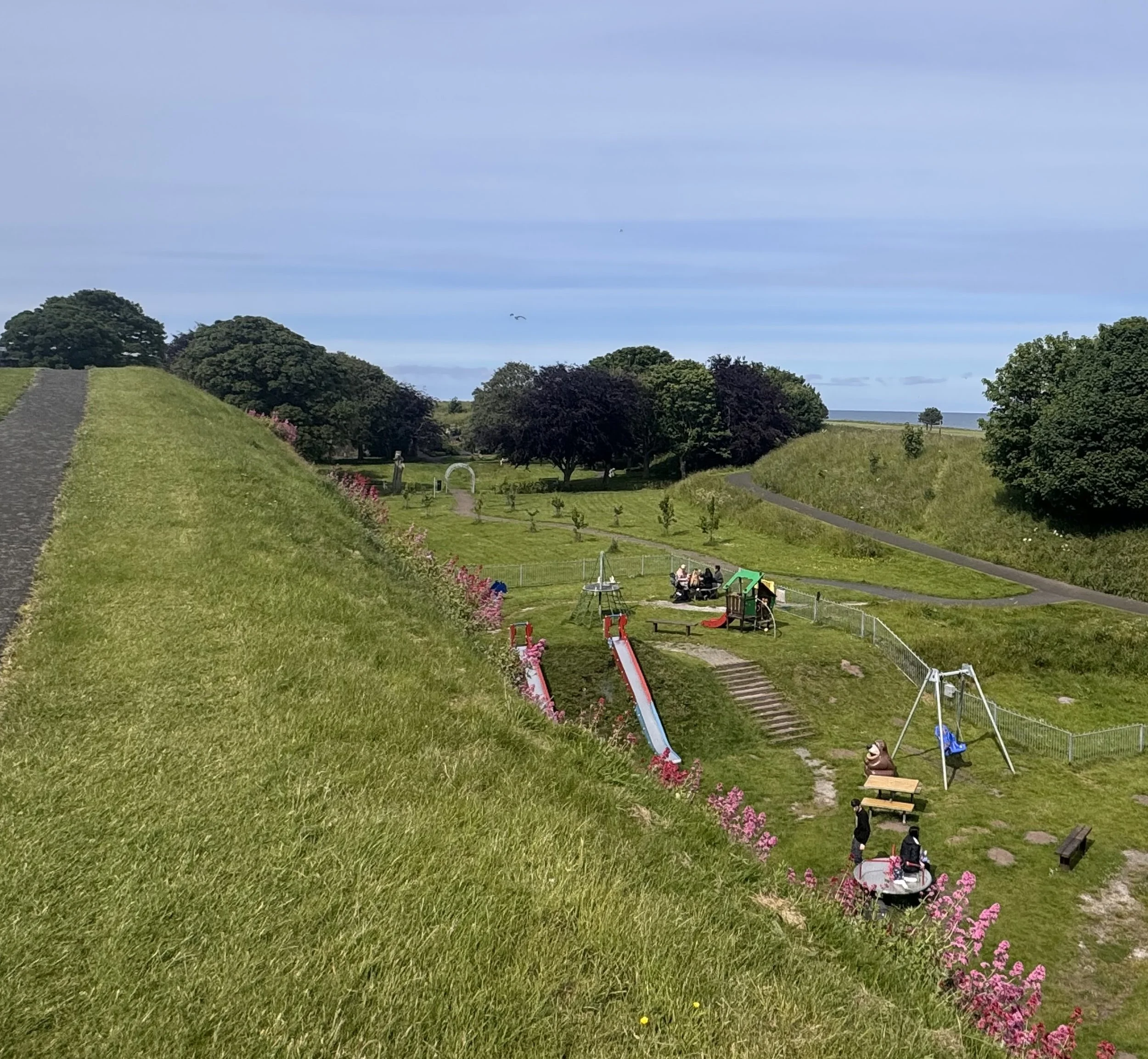
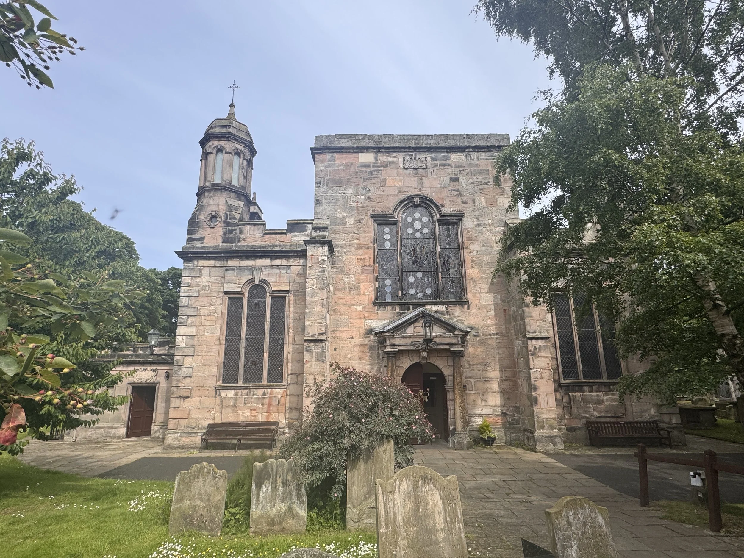
I walked further, and crossed the old stone bridge from 1624, built by James VI of Scotland (James I of England) to better unite his two kingdoms. There is a newer, stronger bridge now, and a beautiful arched train bridge; but for centuries the old stone bridge was the only way to safely and quickly continue on the road between Edinburgh and London. It’s quiet now, mostly walkers using it, but I was again struck by the loud voices and hubbub of the many centuries past. Berwick-Upon-Tweed has changed hands at least 14 times to fall under Scottish or English governance, and it has been used as a crucial, visible stronghold to exert dominance. Thus it has a remarkably intact continuous set of city defenses and walls. First built by Edward I when he seized the town from the Scots, every leader/government has put their mark on it. And due to the evolution of warfare technology, rebuilds were necessary, especially with the advent of gunpowder capability in the 1500s. Now the tall, steep Elizabethan ramparts function as a peaceful raised city park. Disconcertingly, there are no fences along the path, just signs warning to not get too close and keep an eye on your children. There is a football pitch against a tower, a playground, pleasure garden, and golf course, as well. Along the way, I had great views of the lovely homes in the center of Berwick. Just to throw some extra quirky history in, I also walked by a Russian cannon taken as war bounty in 1855 during the Crimean War, now used to demonstrate the placement of cannons on the wall; and just around the corner from my Airbnb is the town’s parish church, one of only two in all of England built during the Commonwealth of Oliver Cromwell in 1650. Therefore it has no extra decoration, a flat roof and no tower or steeple (although those fancy Victorians managed to add some decoration to their tastes).
I like this place. I wish I had more time to wander around, but tomorrow morning it will be time to walk again. Berwick will have to be another added to my list of “return to” places. That list is getting long.