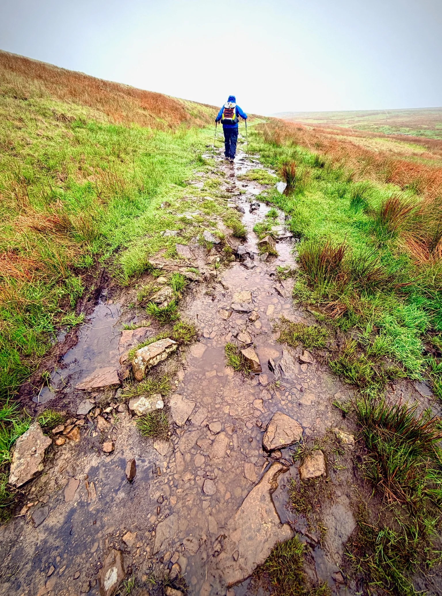
A very long, very wet day, very windy day: 15.6 miles, 7 hours of walking (including a brief break sitting down on the squishy ground for lunch), 1,568ft of ascent. I’m beat, and there’s a longer and harder walk tomorrow, and of course in more rain, so this will be brief.
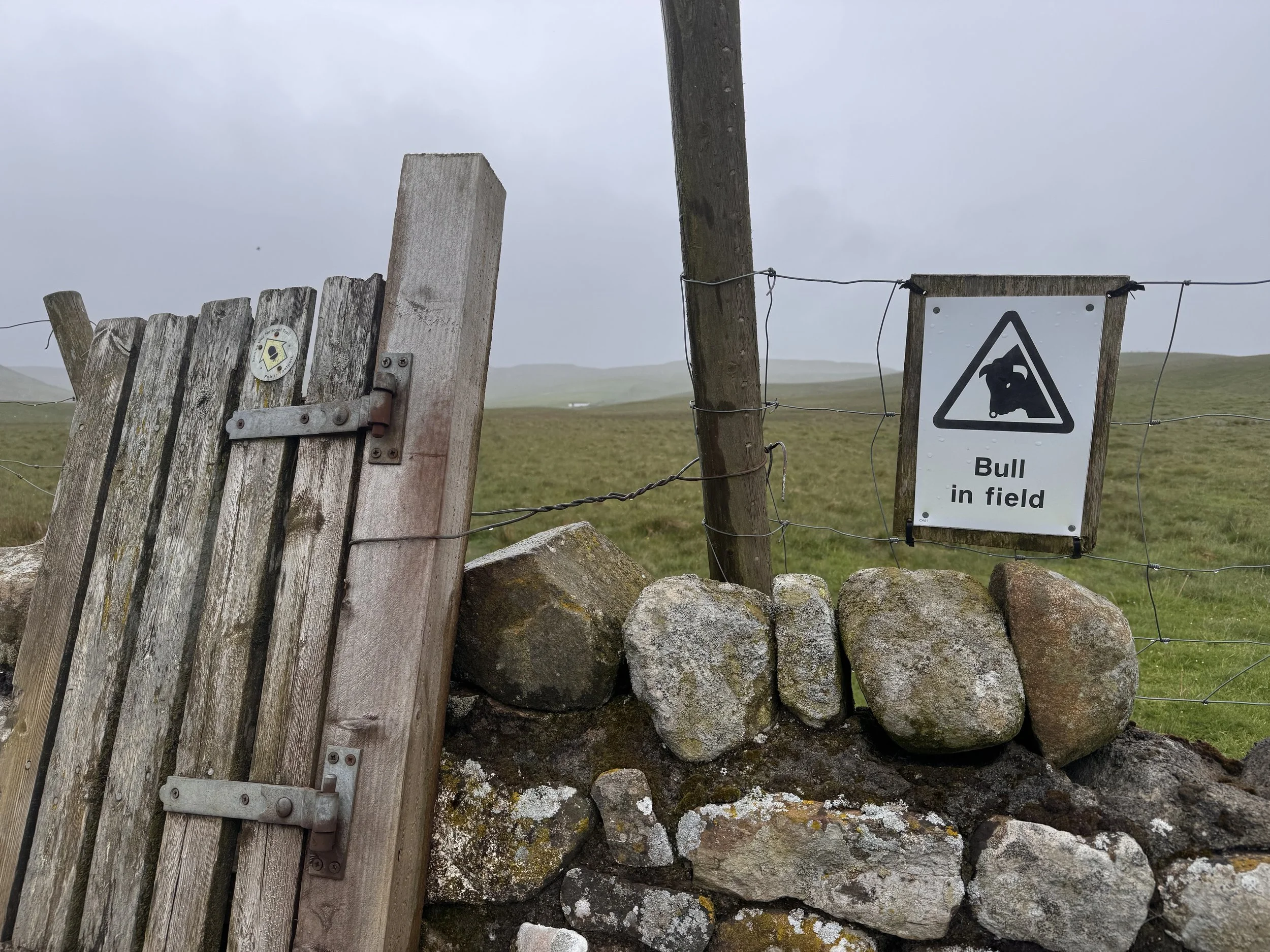
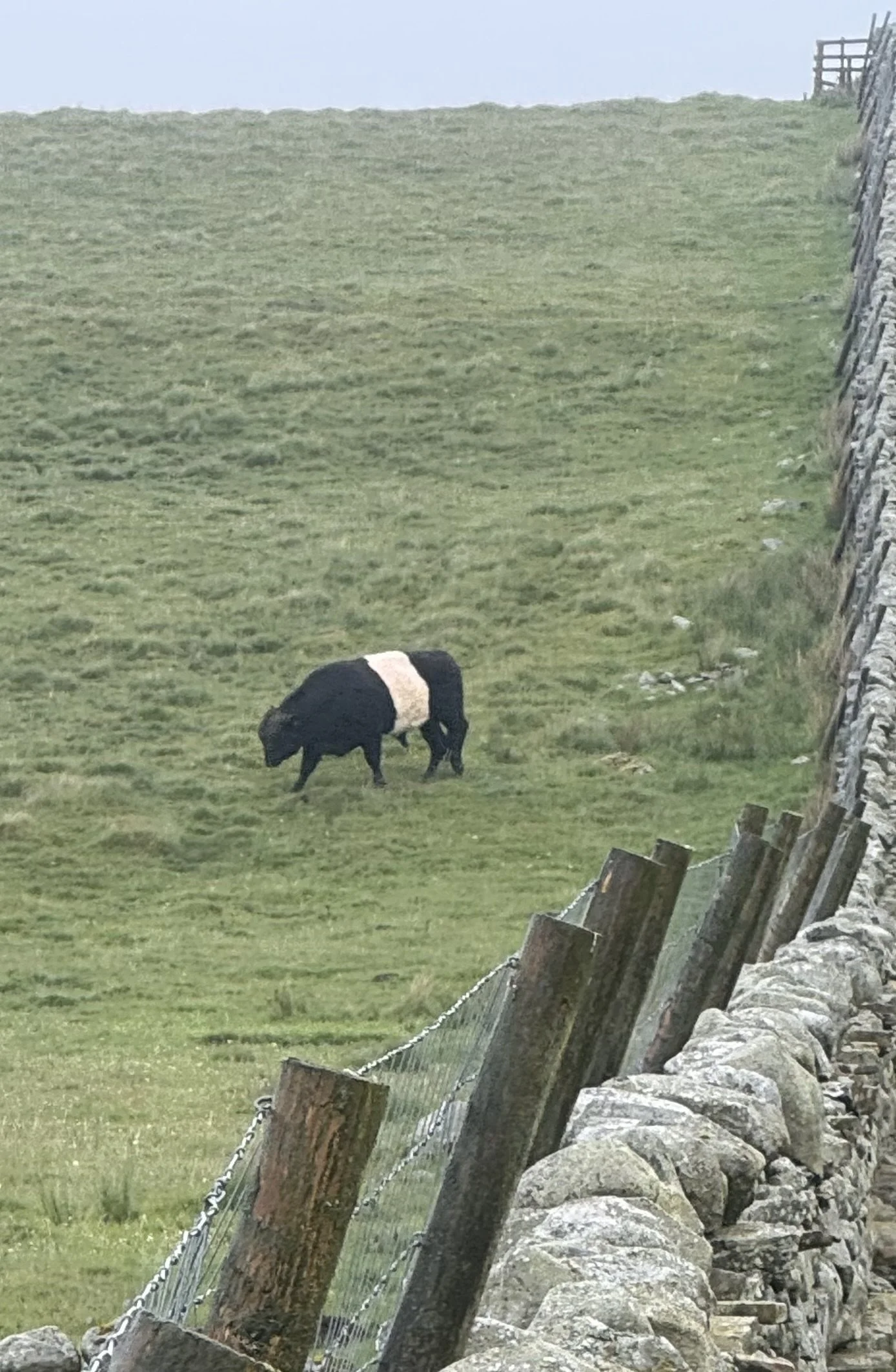
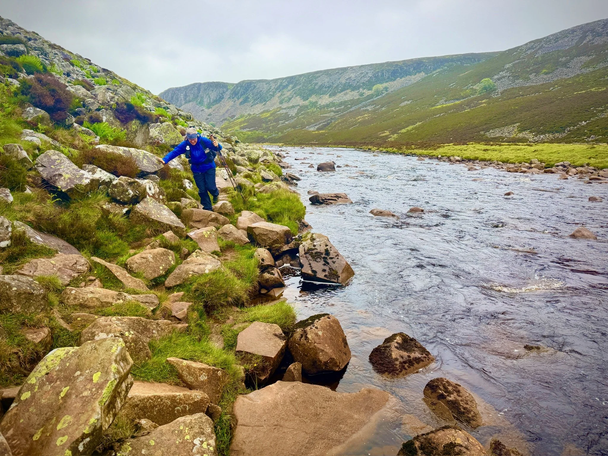
We started on a busy road, after choosing not to backtrack to join the Pennine Way where we left it. Then came the farms and fields with legal footpaths according to the map, but no inviting footpath arrow signs. We skipped the first field that had a very serious looking big wooden sign that read “Beware of bull in field”, took a slightly longer route to the next set of fields. Rejoined the Pennine Way and its clear markers. The first couple had sheep; then came a stile marked with the Pennine Way circle along with another “bull in field” warning. We had to cross it, no other choice. I have been reading up on cows a bit, and a bull in a field with cows is usually okay. Make sure there are no calves and make sure they are NOT dairy cows. They were belted galloways, so beef cattle, and there were only adults. All good, but we still went fast to the exit stile.
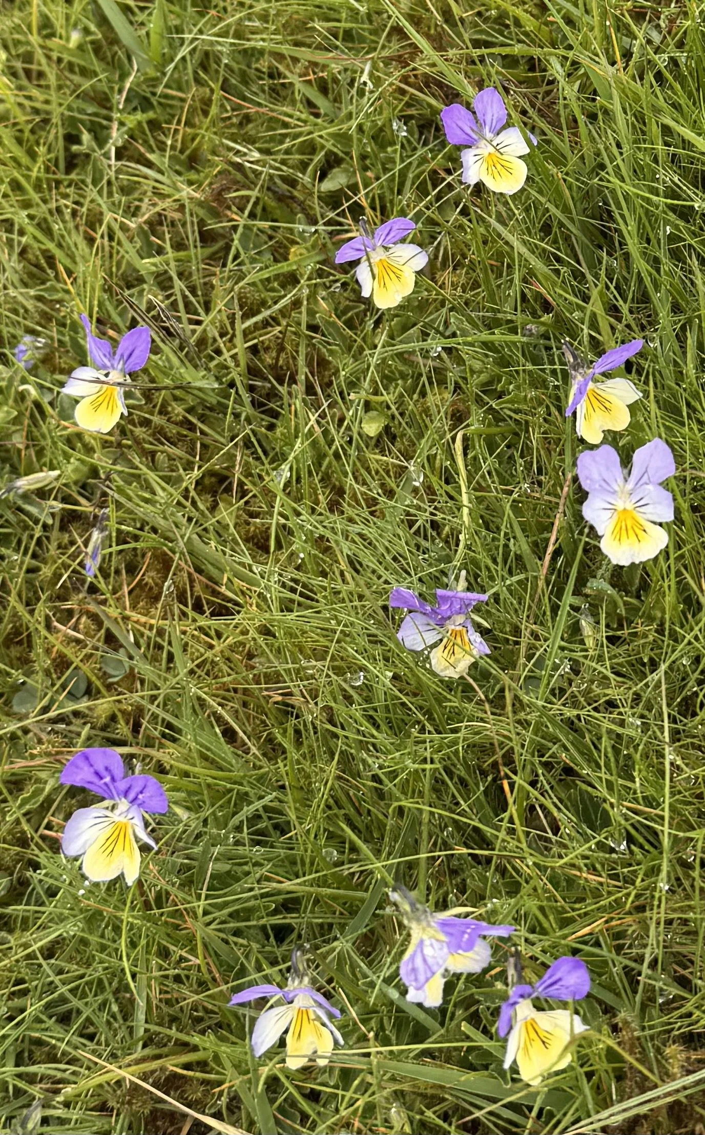
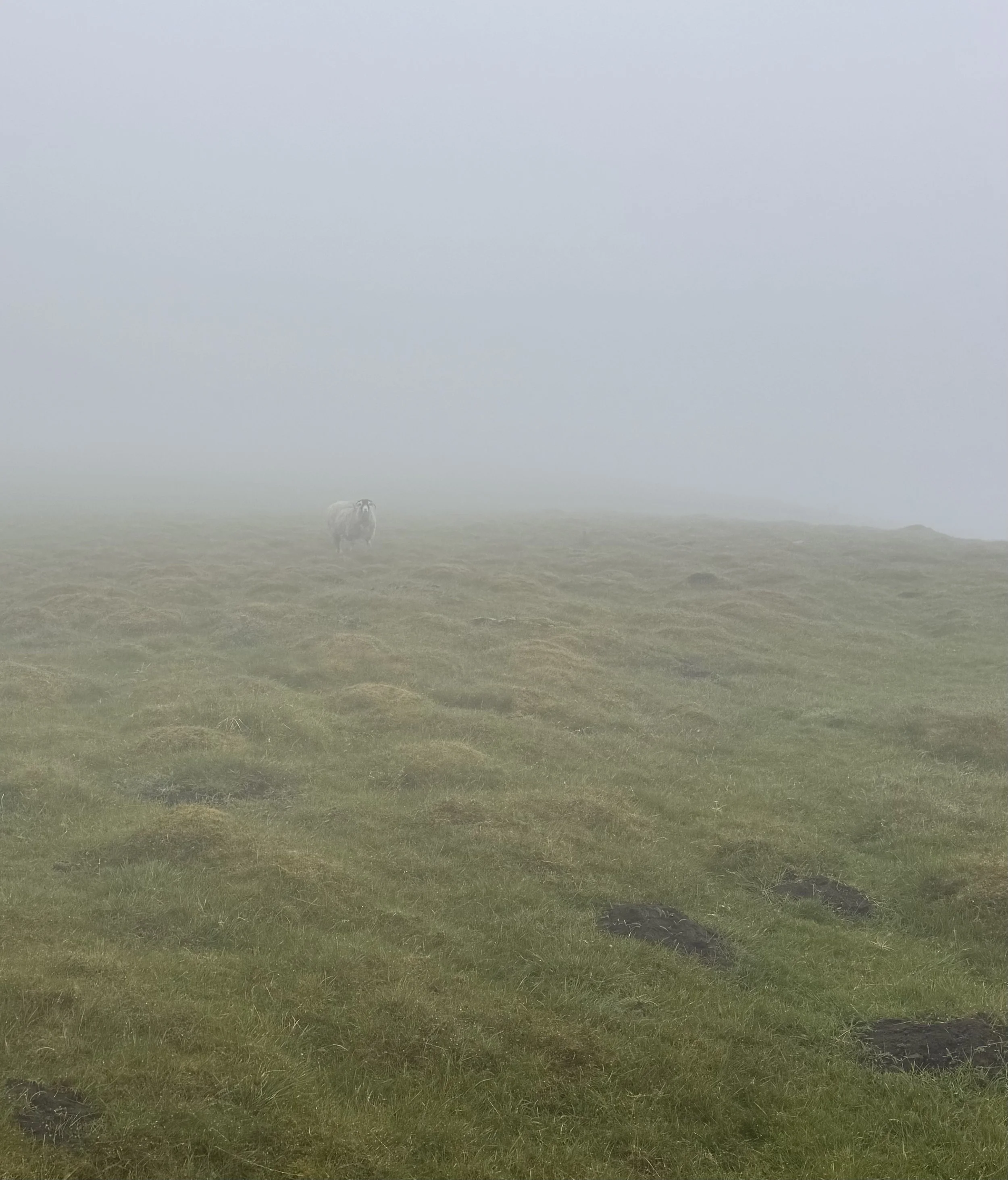
The gentle rain grew harder. The path followed the River Tees upstream, at times just a footstep, or trip, away from landing in it. It was beautiful. It was desolate; except for the sheep. They are everywhere. Walking head down, raincoat, rain pants, rain gloves, gaiters all keeping me as dry as possible; I wasn’t going to be snapping a lot of photos. But then I saw delicate little wild pansies! Gloves off, phone out of protective rain pocket, lens cleaned, took the photo, then dry the phone, put it back in dry pouch, gloves back on, slosh forward.
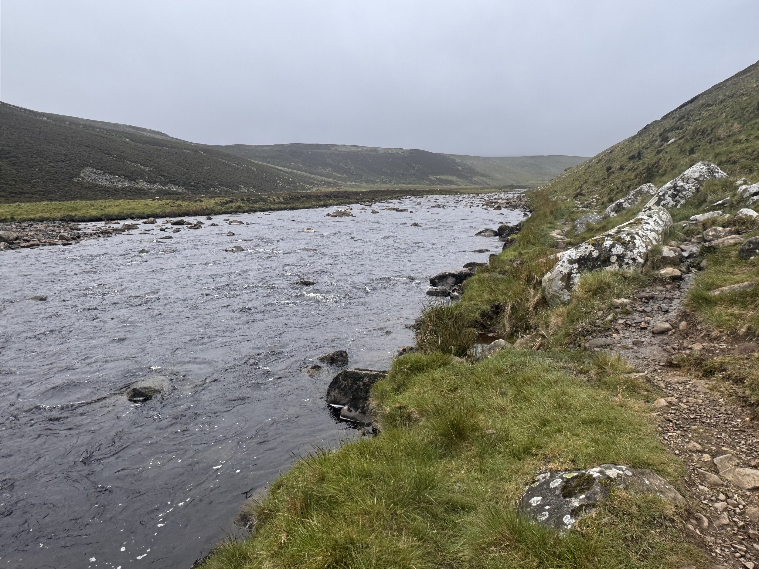
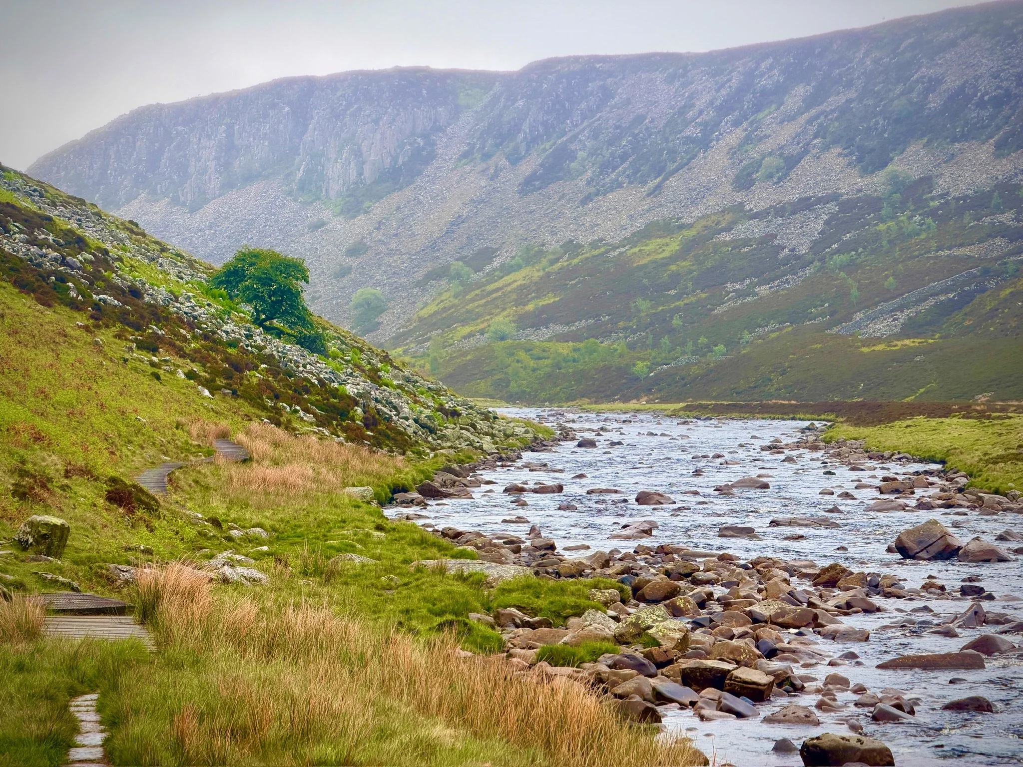
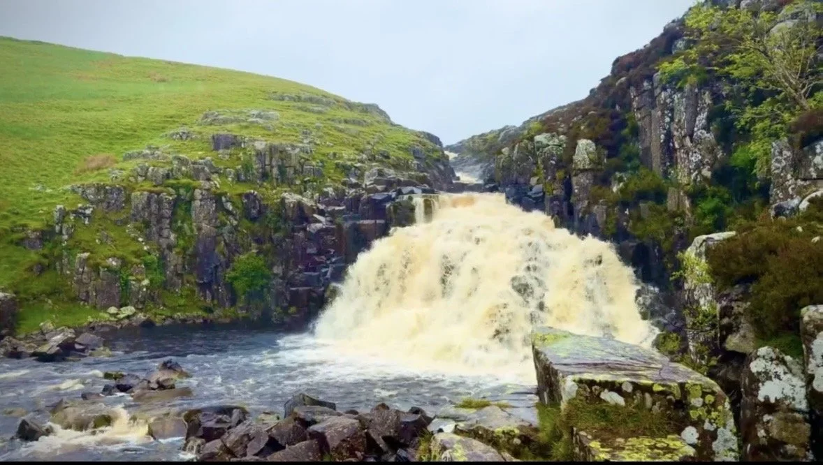
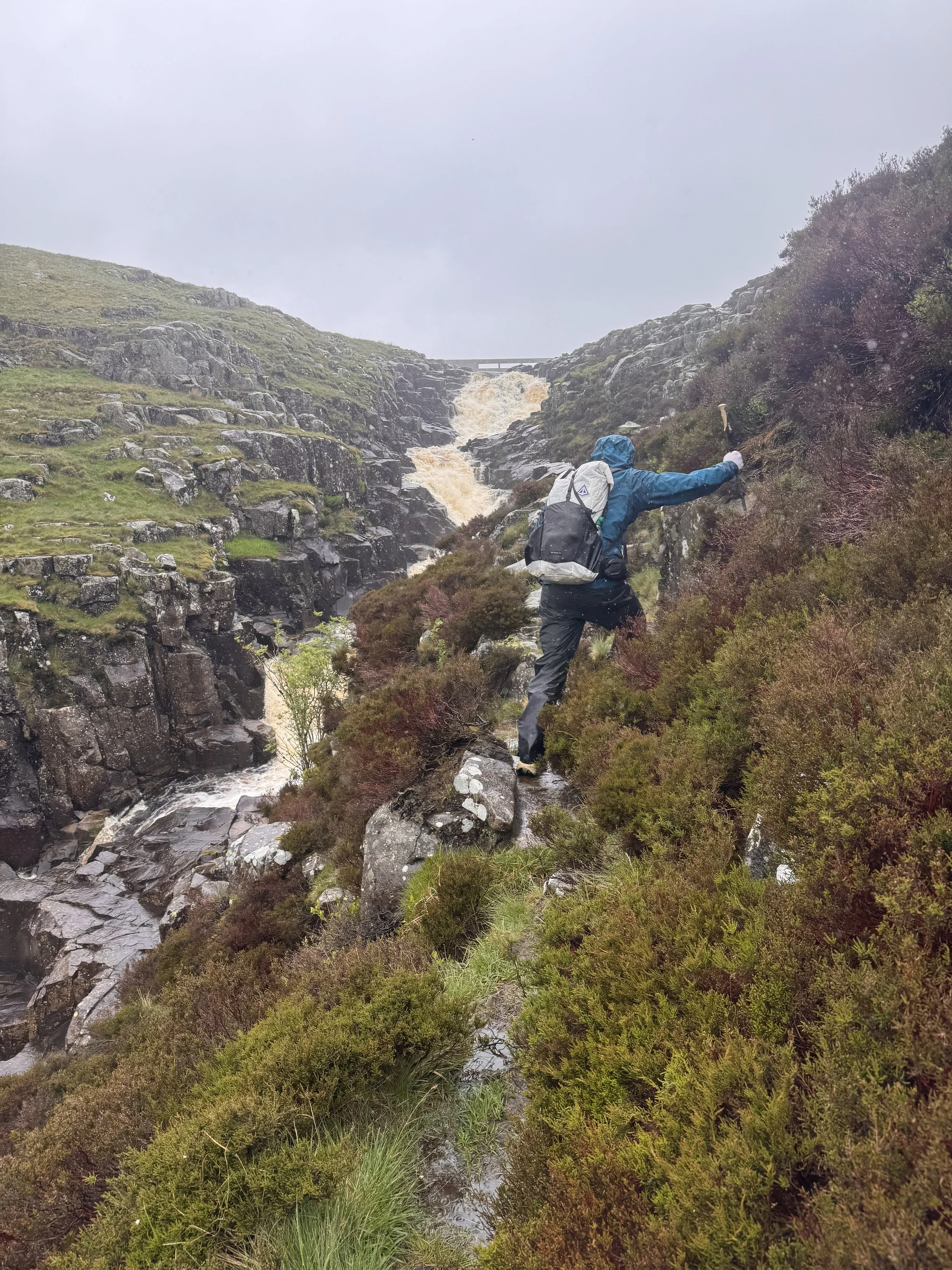
I only repeated that whole process a few times. Bill was largely taking care of navigation today so I asked him to take photos since his phone was already out. And it had to be out because the path was very fiddly to keep track of through talus fields of large boulders and thickening low clouds. Water was everywhere: running down the paths, falling from the sky, and rushing down the river. We turned up a valley to hear, then see Cauldron Snout waterfall - supposedly the longest in England. It was a scramble over more big rocks up its side to continue the path at the top of the fall. Today was very slippy for obvious reasons. I took a video of this bit of the walk today because the rain let up a little, so you can see the landscape as it’s walked through, https://m.youtube.com/shorts/9Ffs9U3SDbI?ra=m
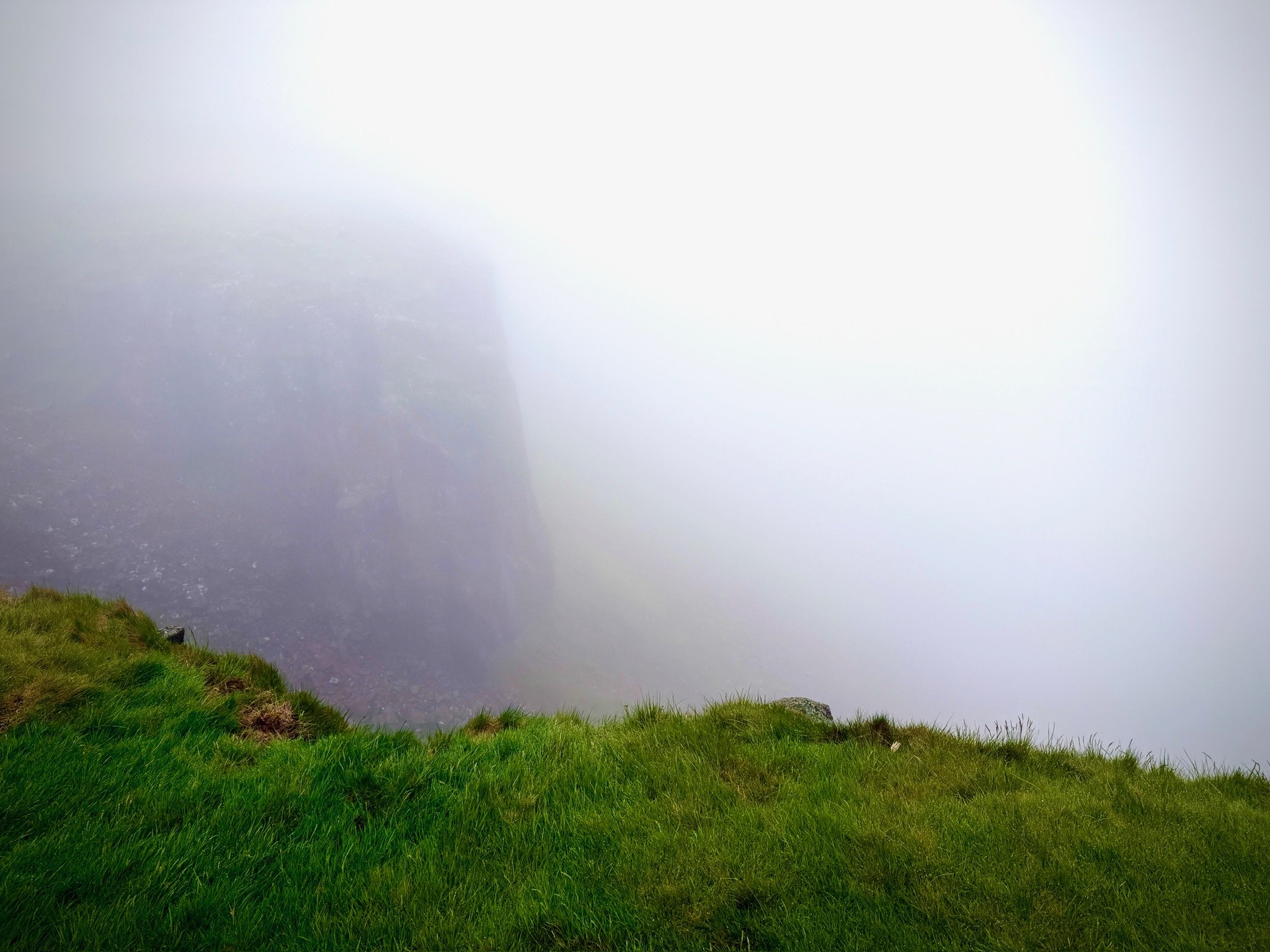
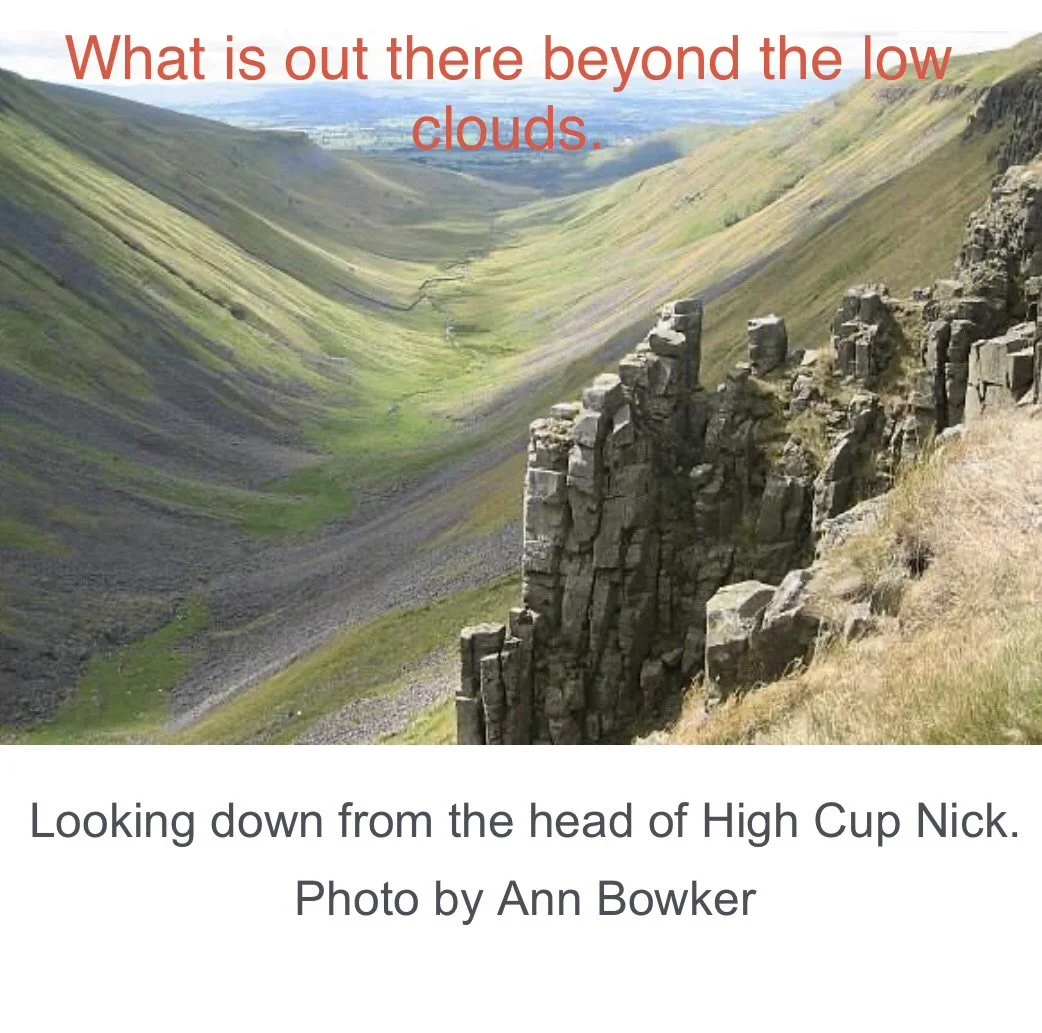
The hard rain grew harder. The mist got mistier. We eventually came to the high point of the day’s journey - High Cup Nick, a huge glacier carved U-shaped valley. Considered by many the highlight of the entire Pennine Way. Not so much today. Just a white scary nothingness, with an abrupt end to the land. And it was very, very windy. I’ve included a photo someone else took on a much nicer day, so you could see it.
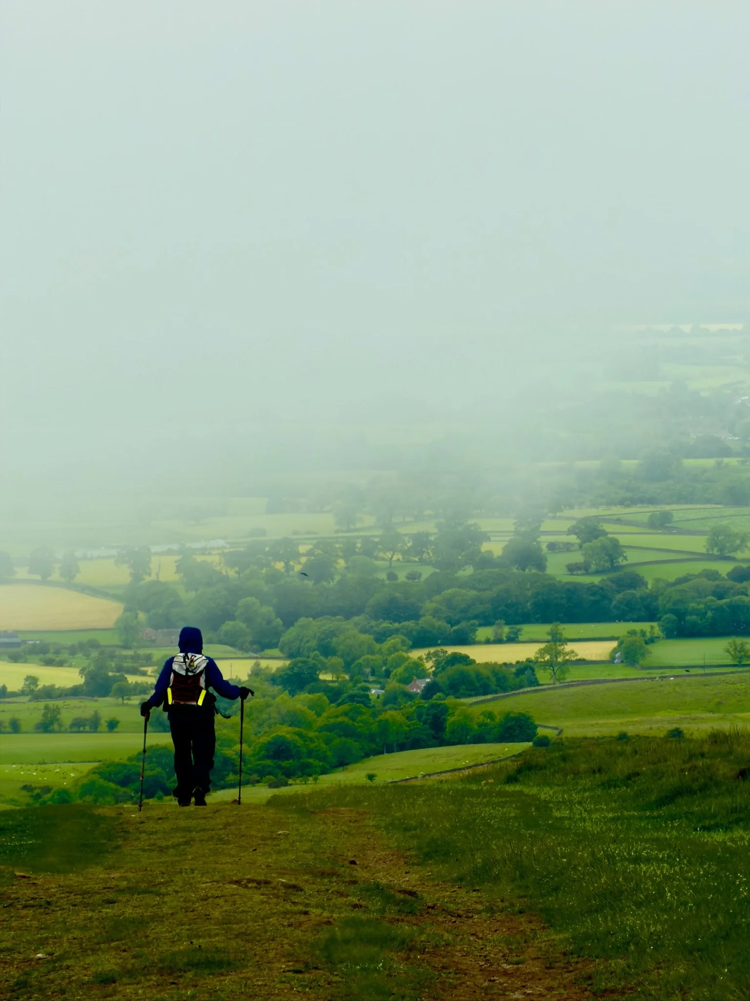
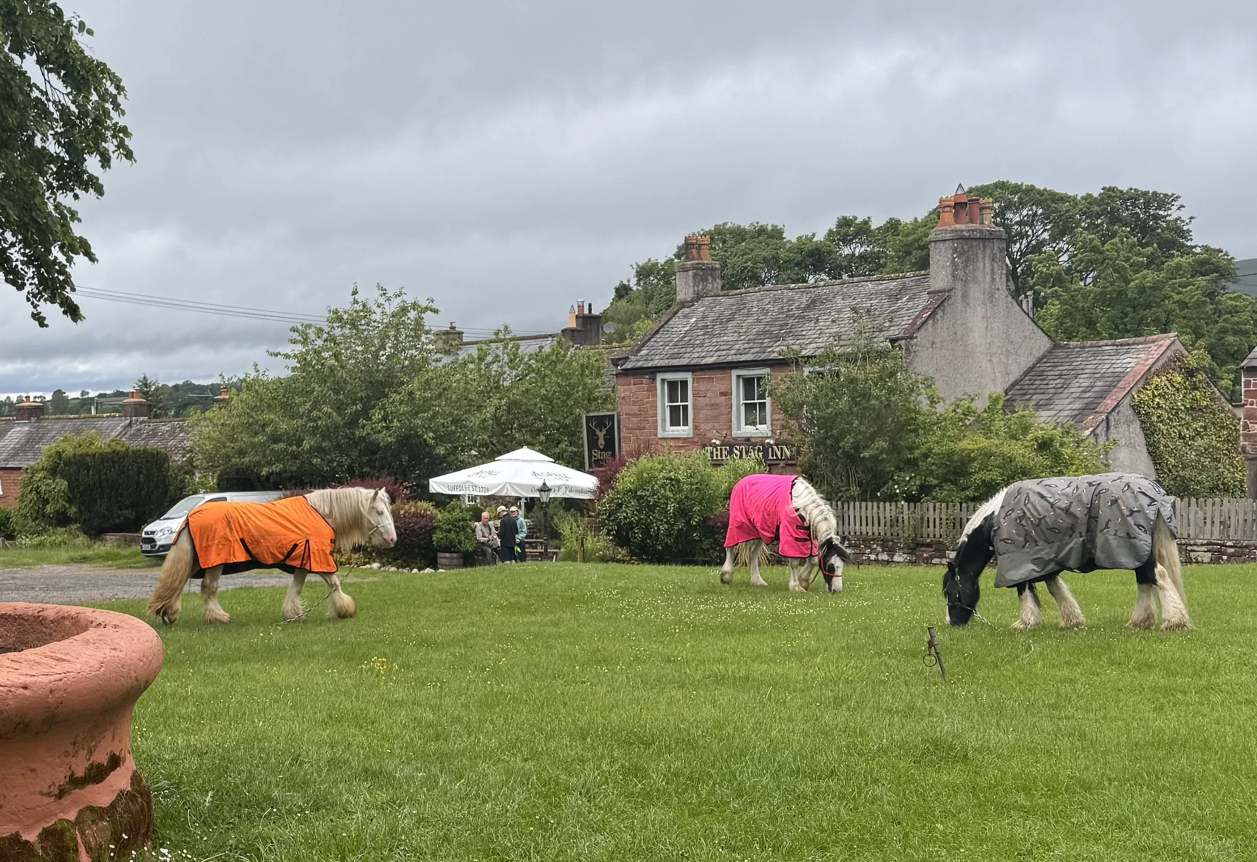
After that it was more tough path finding, more slippery rocks, more water everywhere, and down, down, down the hillside. All of the sudden, off in the distance I could see English countryside in all its glory below the clouds we were walking out of. Continuing down into Dufton, we found it cute and with a village green with horses grazing in front of the pub. We walked to our Airbnb made from a converted Victorian potting shed, stripped off wet things and hung them to dry for tomorrow’s rain, and collapsed. My feet are super tired and sore from the tough miles, but no blisters and plantar fasciitis is staying quiet.