What a day; shorter than planned because there was a diversion due to an impassable bridge towards the end that was longer than the original route, fiddly and looked very uninteresting, so we wimped out and took a taxi the final 4 miles. That made this super wet (really BUCKETS of rain at points), super hilly, super foggy walk a total 16.5 miles, 3297 ft of climbing, and 8 hrs long.
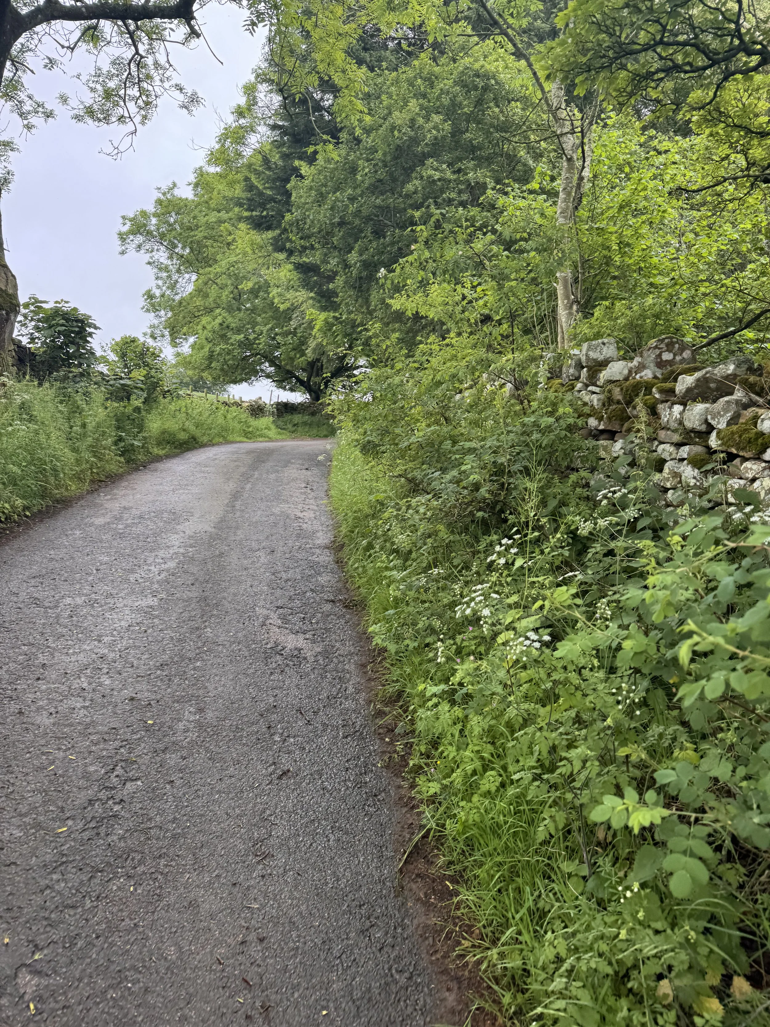
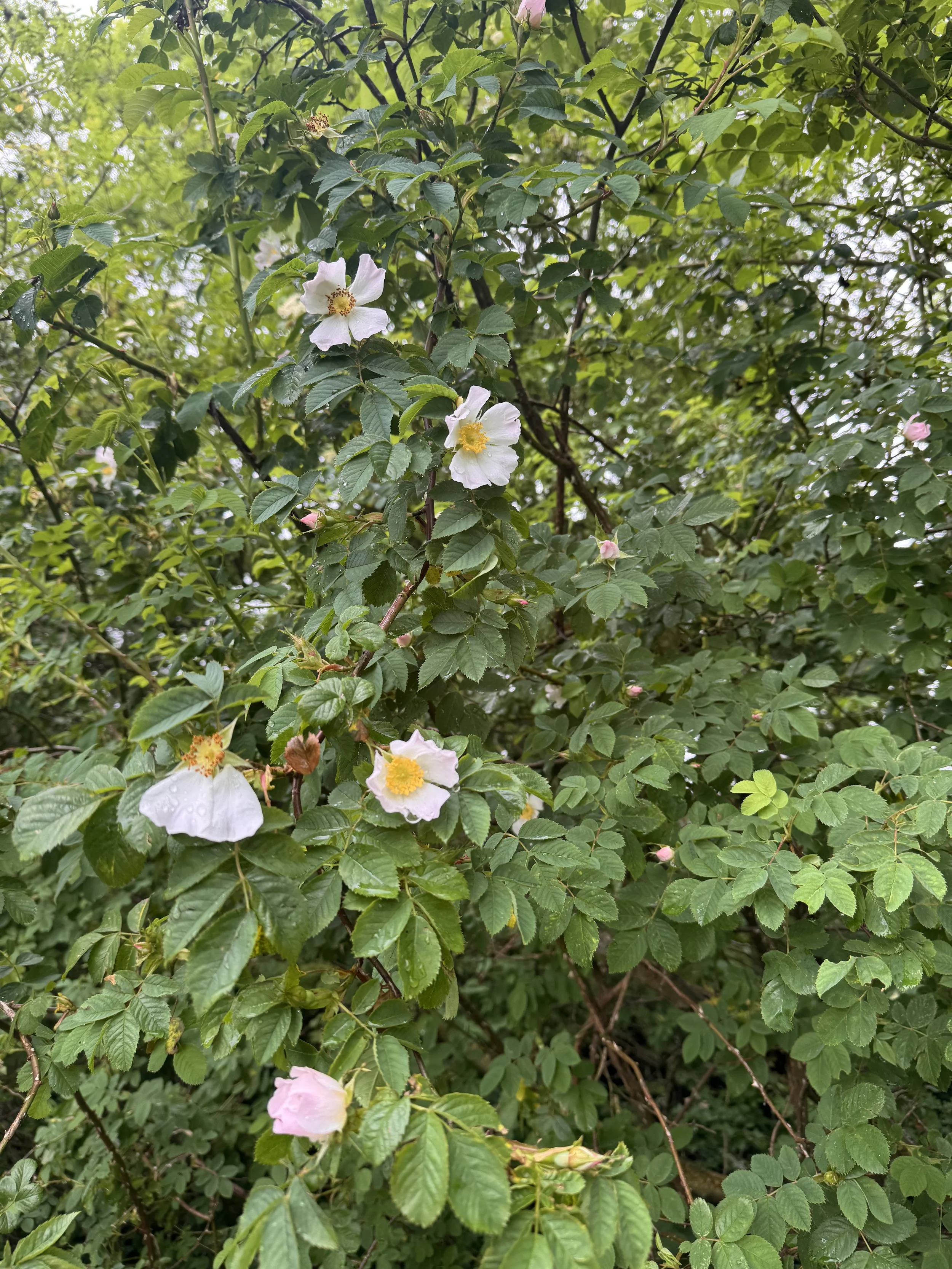
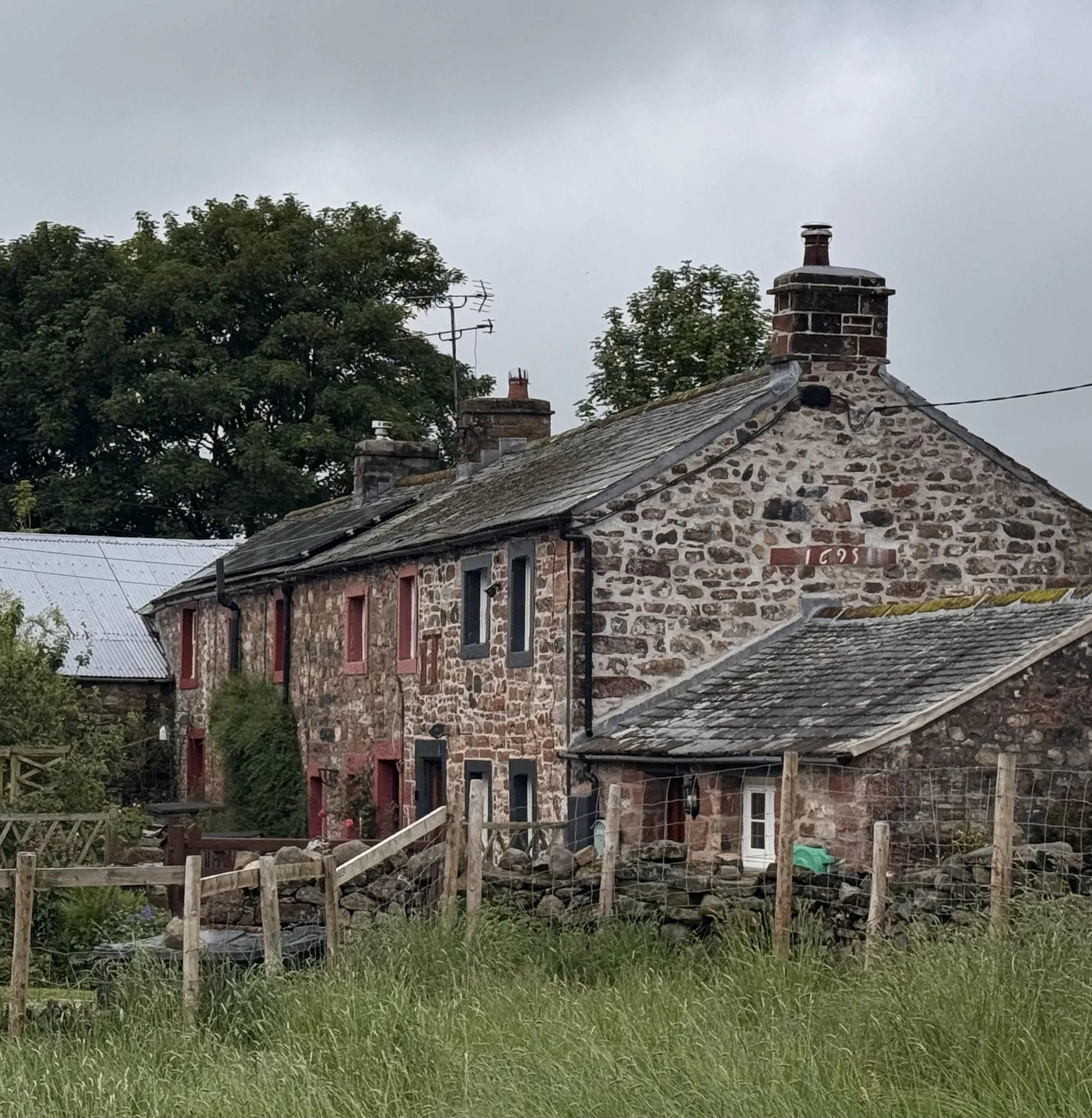
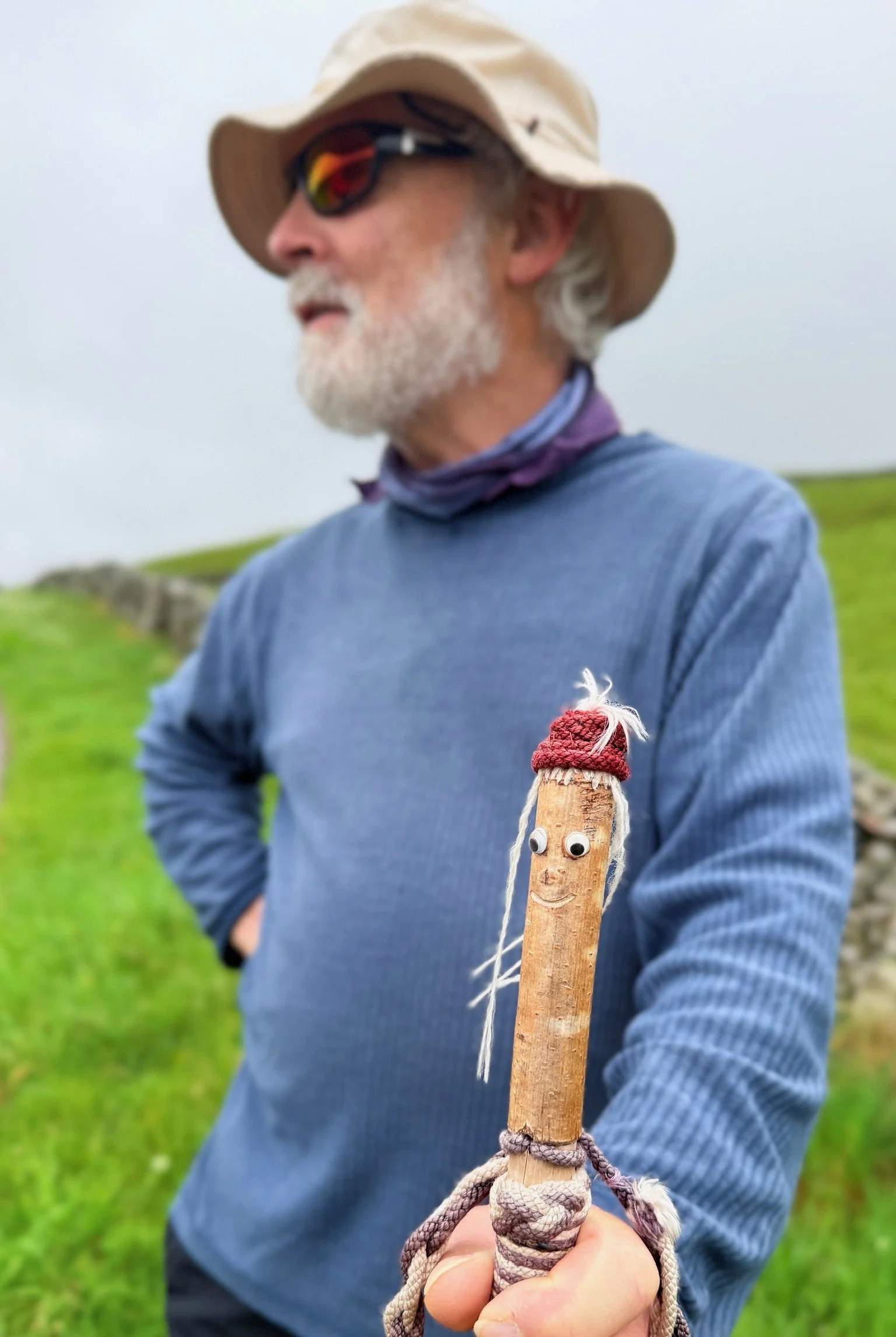
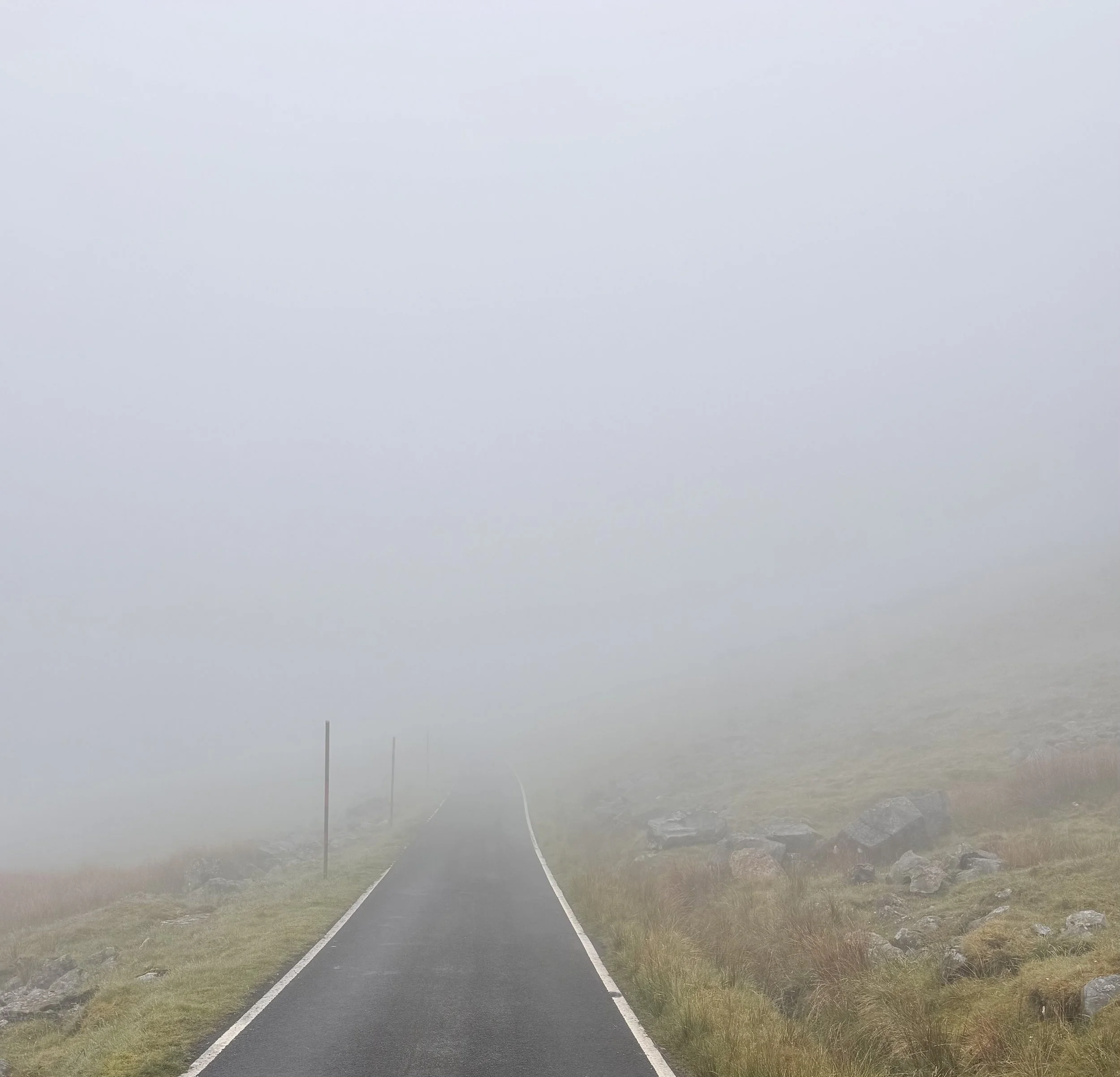
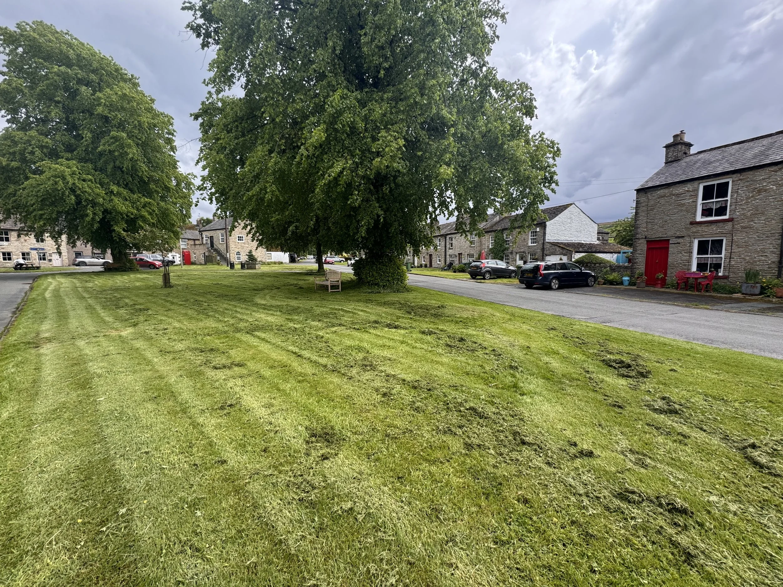
I couldn’t face more boggy slogs up through the hills, and this was going to be a day of hilltops as we had to go over four fells. A fell is a high upland or mountain/hill and is a Norse word brought over when the Vikings settled northern England around the 9th century, along with many other place names like beck (stream), tarn (mountain lake), gill (ravine), force (waterfall). We scoured the map for alternatives to make the day a little easier to navigate, and decided to take the private road to the radar station on top of Great Dun Fell. Walkers and cyclists are allowed to use it. It added 1/2 a mile, but was very easy to follow and required no jumping between rocks and over mud puddles. It also cut out Knock Fell, but not its elevation. The rain actually held off for the first couple of hours and the walk was pleasant through the quiet village of Knock and on the lane starting up the climb. I saw some pretty wild roses, a friendly group of three horses who seemed to want a snack but we didn’t provide one, and a field of cows who followed us which was fine because they were on the other side of the fence. We saw only one other person, an older gentleman just standing on the roadside looking down into the Eden Valley and across to the mountains of the Lake District. It was a beautiful view in the early 8am sunlight. He was holding a walking stick, and I admired it. He told us he had made it from hazel wood, and he had done the decoration at the top, using a Turk’s Head Knot for the rope. He also mentioned this was a very quiet area, not overrun like the Lake District across the valley, but with an equivalent beauty. Although it was going up be busy this week because there was the Appleby Horse Fair, and thousands of Gypsies are arriving from all over Europe in their colorful caravans, as well as tourists to see the festivities. Then he pointed out his house down the hill. We could have stayed and chatted much longer, but we had many miles still to do, so bidding him farewell we continued walking up the road.
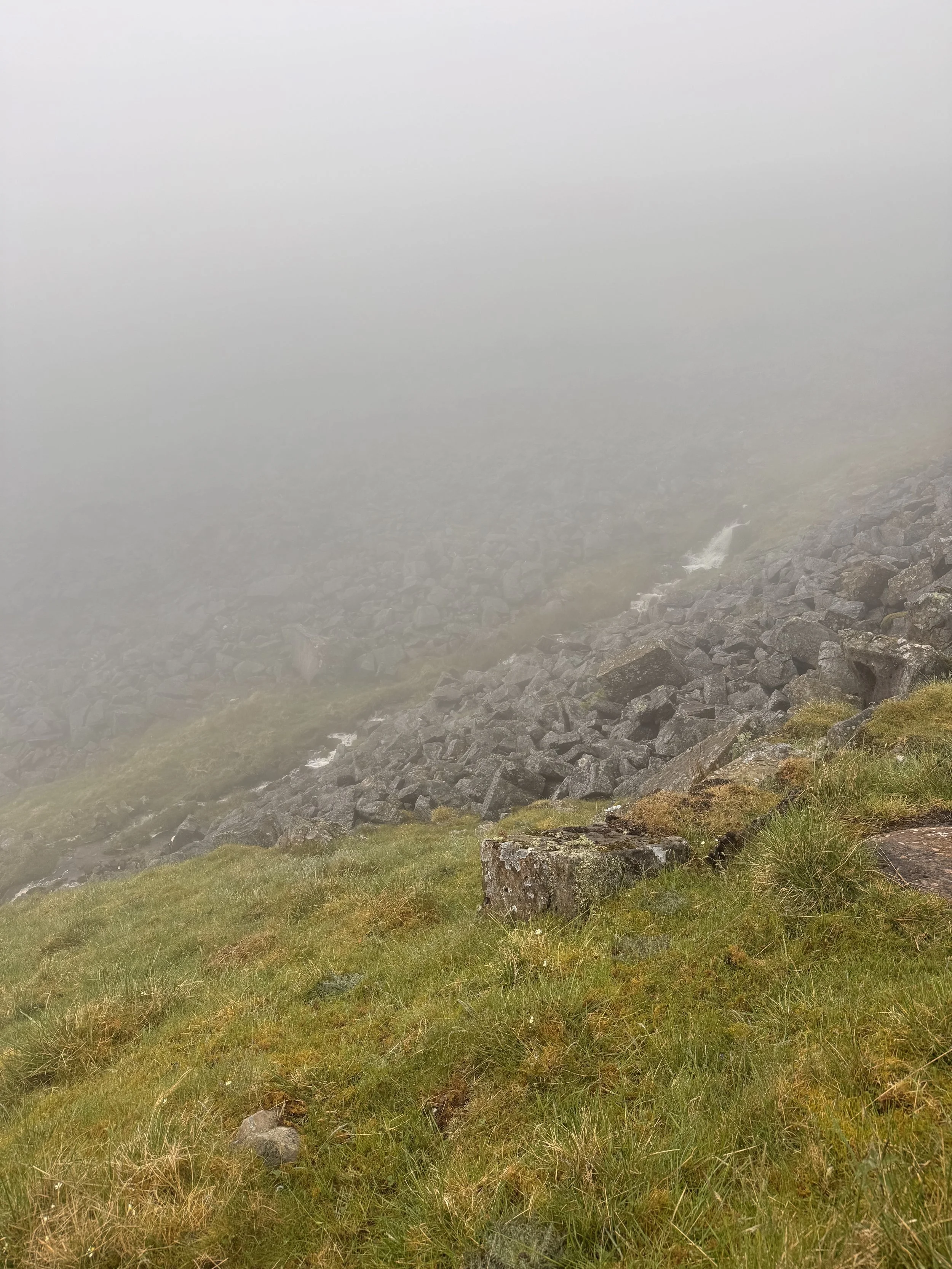
I turned around to see the last of the light for awhile, as we were headed for the thick mist hugging the fells. We walked in an eerie silence because the low clouds did weird things to any sound and seemed to suppress or alter the noises of things moving. Running water of a creek cascading down the hillside, couldn’t see it but it seemed to be surrounding us. The click clacking of my poles on the pavement echoed back in double time. There were no bird songs for the first time on the trip. Just an odd quiet, and nothing to see except white and a little bit of space in front of us.
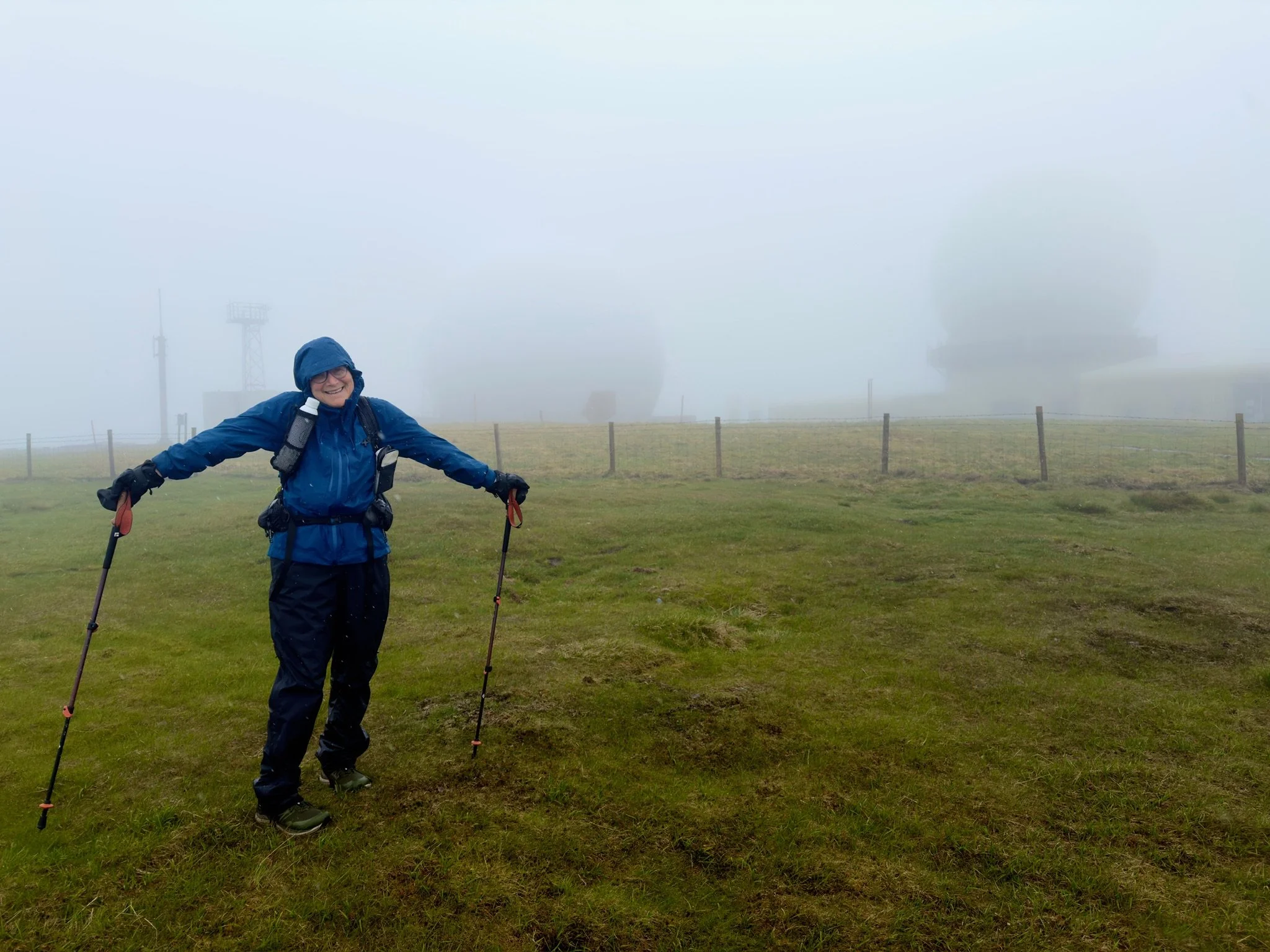
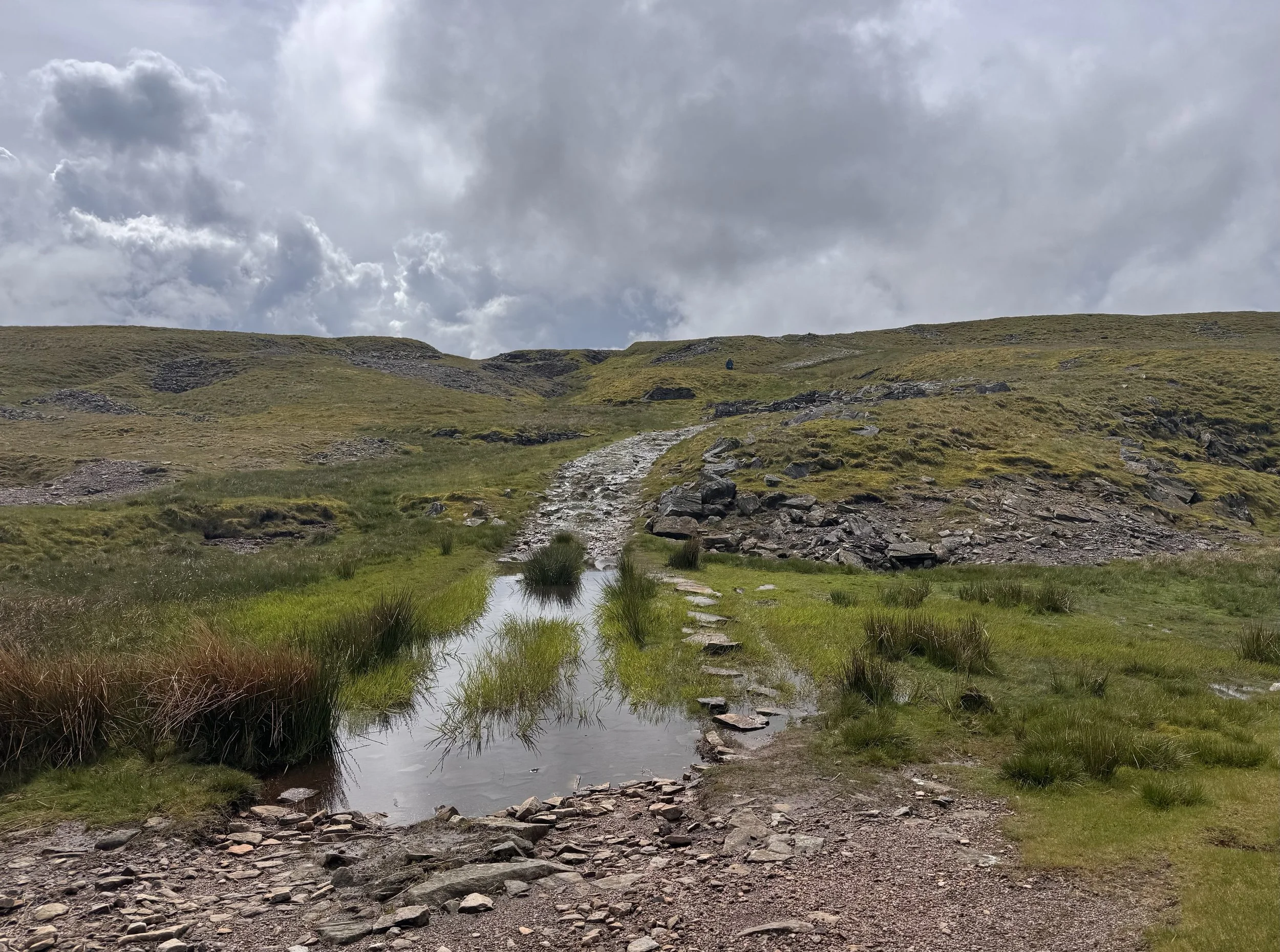
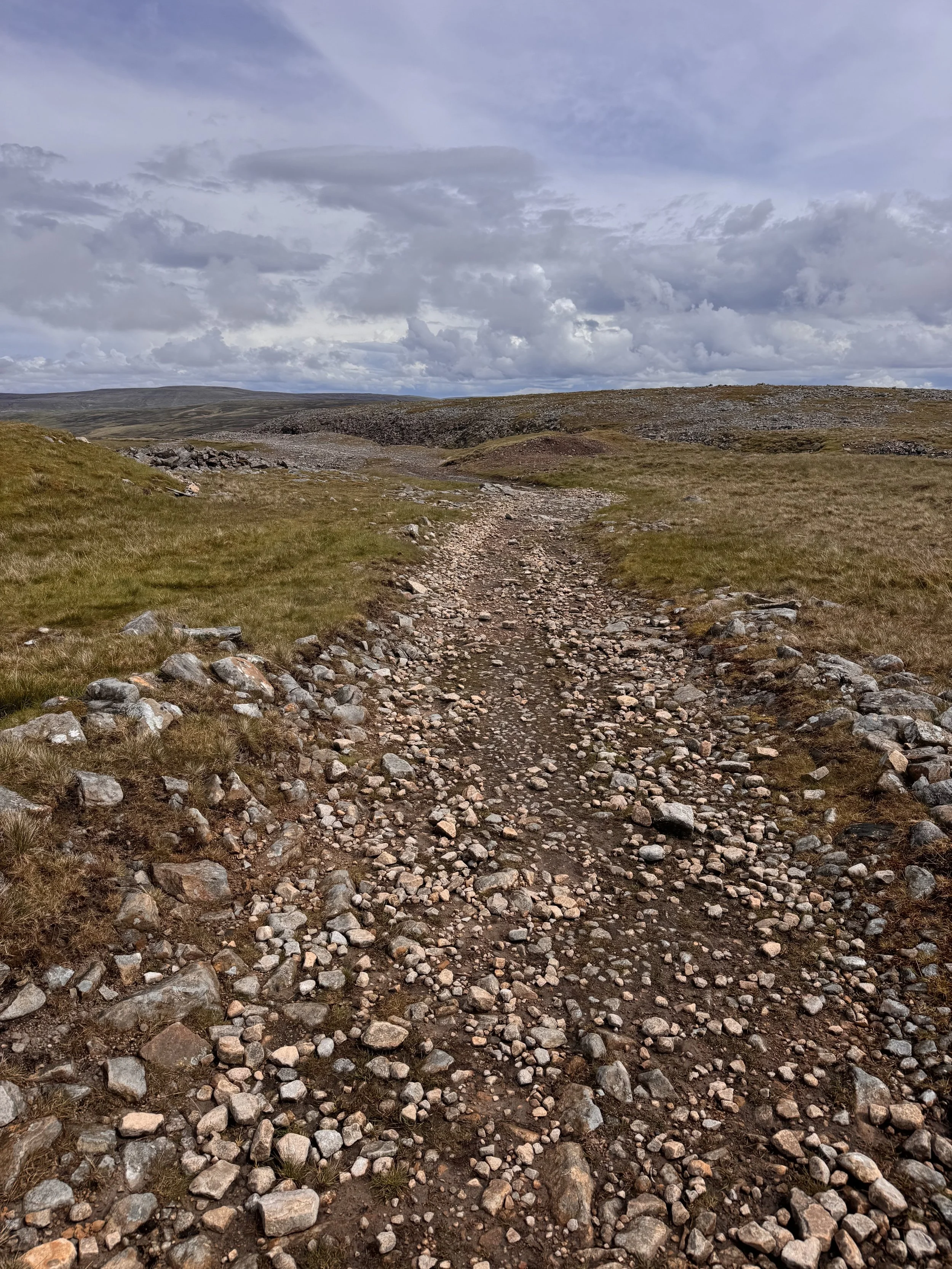
After a couple of hours the rain started just as we left the roadway and joined the trail back on the moor. We reached the top of the first fell. Walking around the air traffic radar station, its big white soccer ball devices were the only things to see since any view was obscured by white, and even those kept fading in the mist. This fell is covered by cloud 2/3 of the year so an important meteorological station is also here, and I didn’t feel so bad that we missed a view that is rarely seen. We found the path down into the notch on the ridge that led to Little Dun Fell. The climb up to its height was not too bad, and I was very happy to discover the Pennine Way management had placed paving stones across the wettest bits. We kept going and started the ascent of Cross Fell. At 2,930ft it’s the highest point in England outside of the Lake District. Compared to where I live in Truckee that doesn’t seem very high, but it sure is when you’re walking up each of those feet!
The rain started in a sudden and furious downpour as we grew close to the summit. As the hard rain, and then hail, started, the paving stones ended and a choose your own adventure began walking over large rocks and grass clumps on the hillside. https://m.youtube.com/shorts/ohr55wFd7t8?ra=m
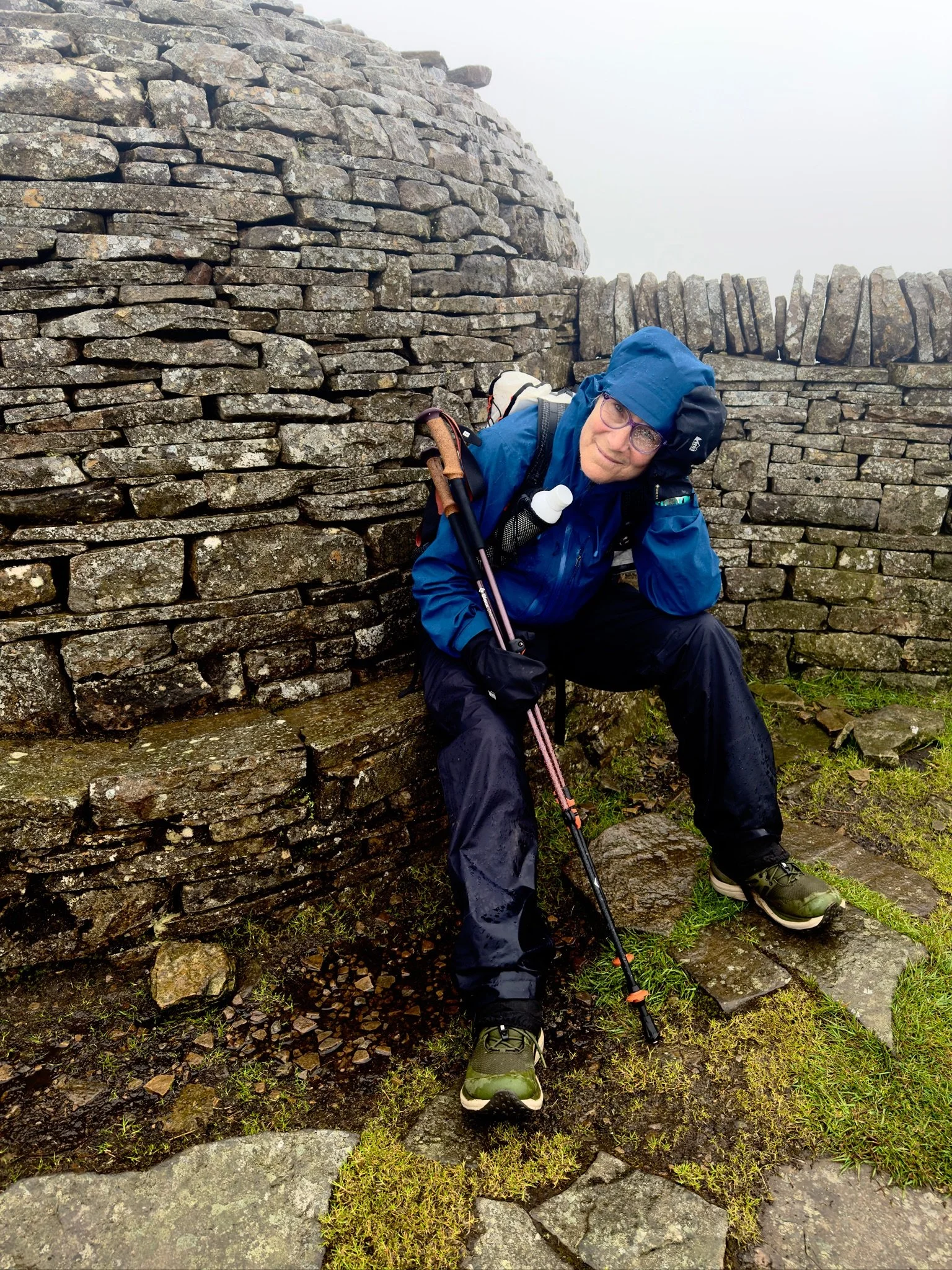
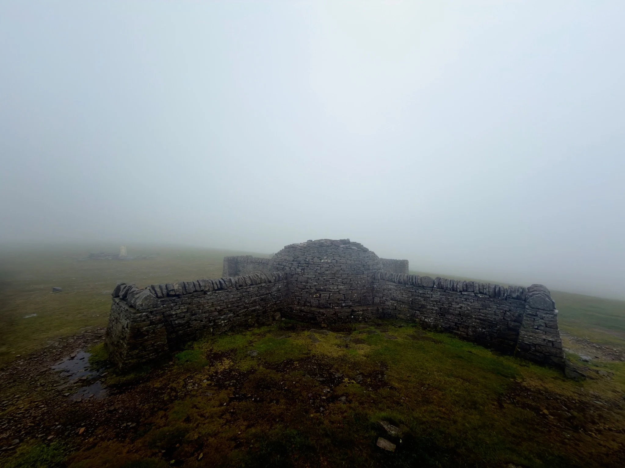
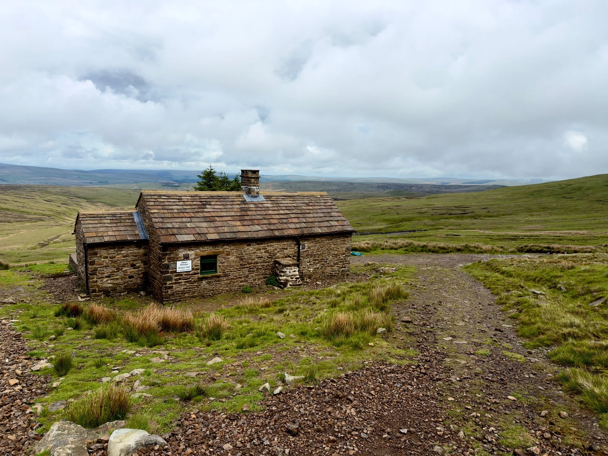
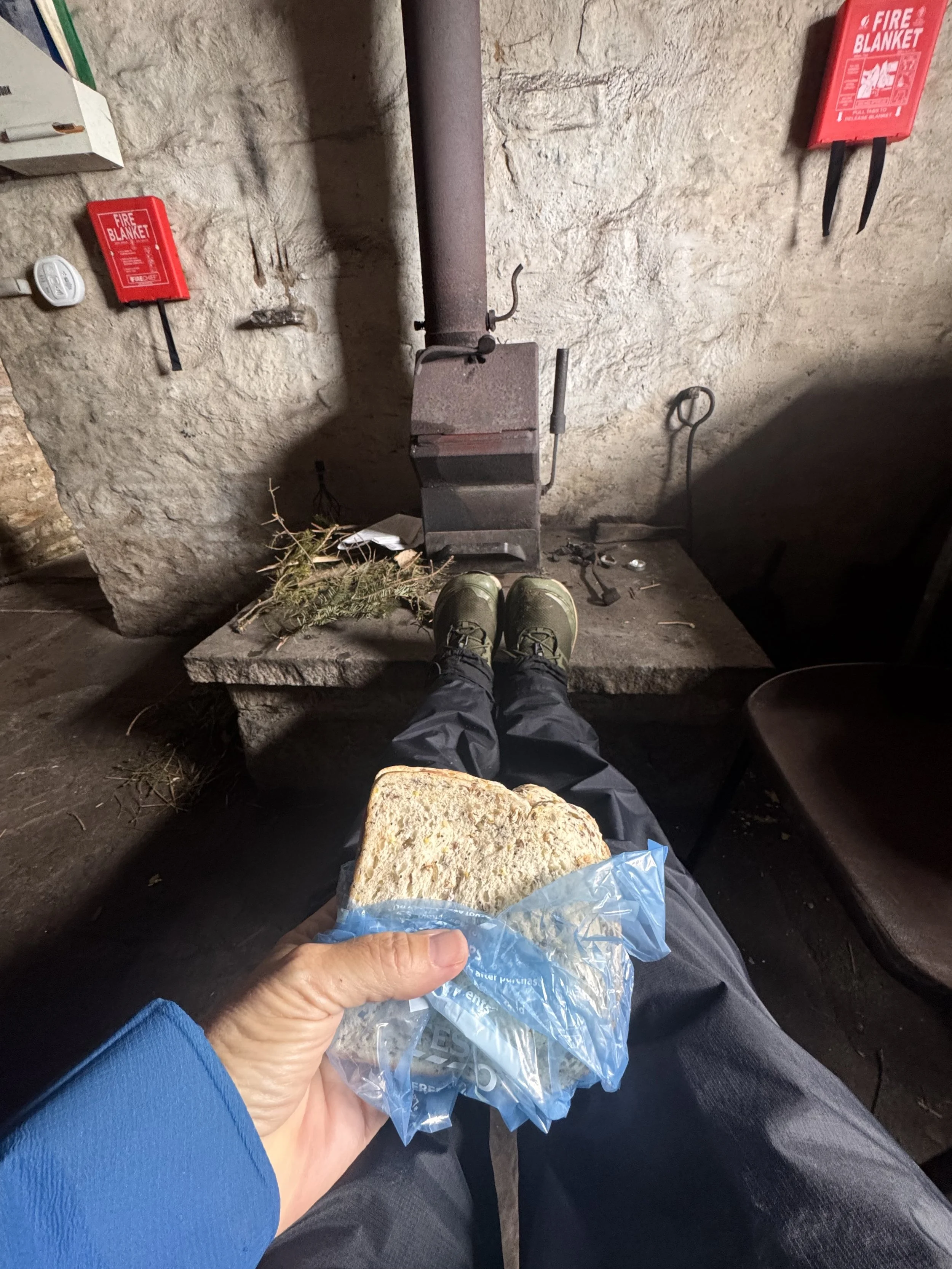
We arrived at the top, sat briefly in the quadrant rock shelter, and as thunder was heard in the distance we started the effort of locating the series of cairns to find our way back down. I was tired by this point. Tired of the miles, tired of the rain, tired of the terrain, tired of walking. Getting off the top of the fell was tricky, but we made it the mile down to a stone hut bothy for lunch. This was Greg’s Hut, a simple maintained safe place supported by a group of volunteers. Cross Fell has recorded the coldest temperature and highest winds ever in England, so it’s likely someone would need safe harbor. There are many of these throughout Scotland, Northern England and Wales for fell walkers. This building was originally a 19th century pub for coal miners who had to live in huts on the hillside, only being allowed to return home on weekends, or less.
We met three other young walkers already in the hut, two walking the LeJog like me, but twice as fast, and one walking the Pennine Way. It’s always fun to talk to other people doing their own hike; people always have different reasons and different ways to go about it.
Lunch eaten, we still had 10 miles to go to arriving at our B&B and a lot of steep downhill trail. The rain had stopped, some blue sky was breaking through, but thunder continued. We noted the sign telling of the path closure and not great diversion. We decided to call and arrange for the taxi at the first village off the mountain. Such a wise choice. The taxi driver was cheerful and informative, and we arrived to our warm and comfortable room soon, collapsing until our host called us down for a delicious dinner.
Tomorrow is a much easier day. That makes me happy.