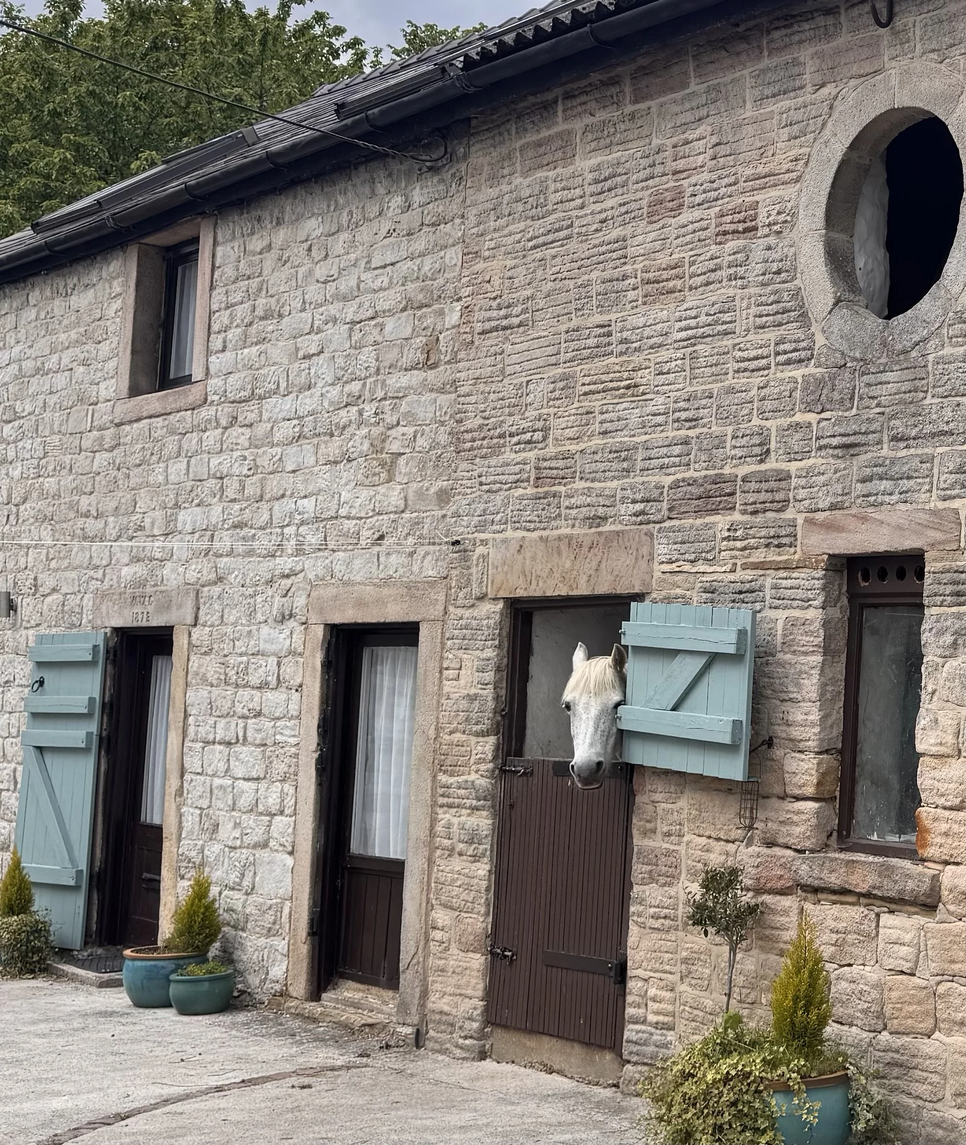
I’ve enjoyed the best of the English countryside in springtime these last couple of days. Some puffy high clouds, some blue sky, some warm air, some cool breezes, some greyness, some drizzle - repeat. We are staying in a truly special little cottage, at the top of the village of Castleton and 300ft from the largest cave entrance in the UK. This is officially Peak Cave, but is mostly referred to as ‘the Devil’s Arse’; you might be able to tell why from one of the photos taken from across the valley. The village sits in the middle of the Peak District National Park, the first in the UK and designated 75 years ago. Which means there was already a lot of activity and people settled in the area, and there has been careful workarounds to protect the area, make it accessible, and allow businesses and residents to carry on their regular lives. So there is a very large concrete quarry and factory just down the valley. And farms. And schools, churches, hospitals, shops, homes, etc. I find it encouraging that many different stakeholders could come together and figure out how to protect land, historical sites, and people’s livelihoods.
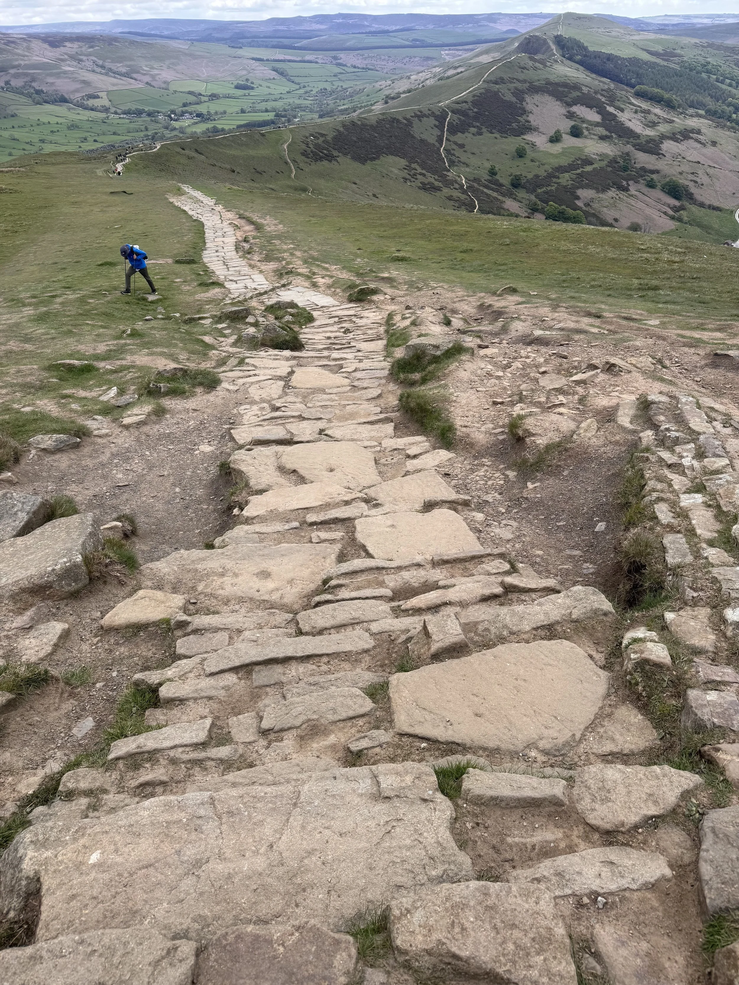
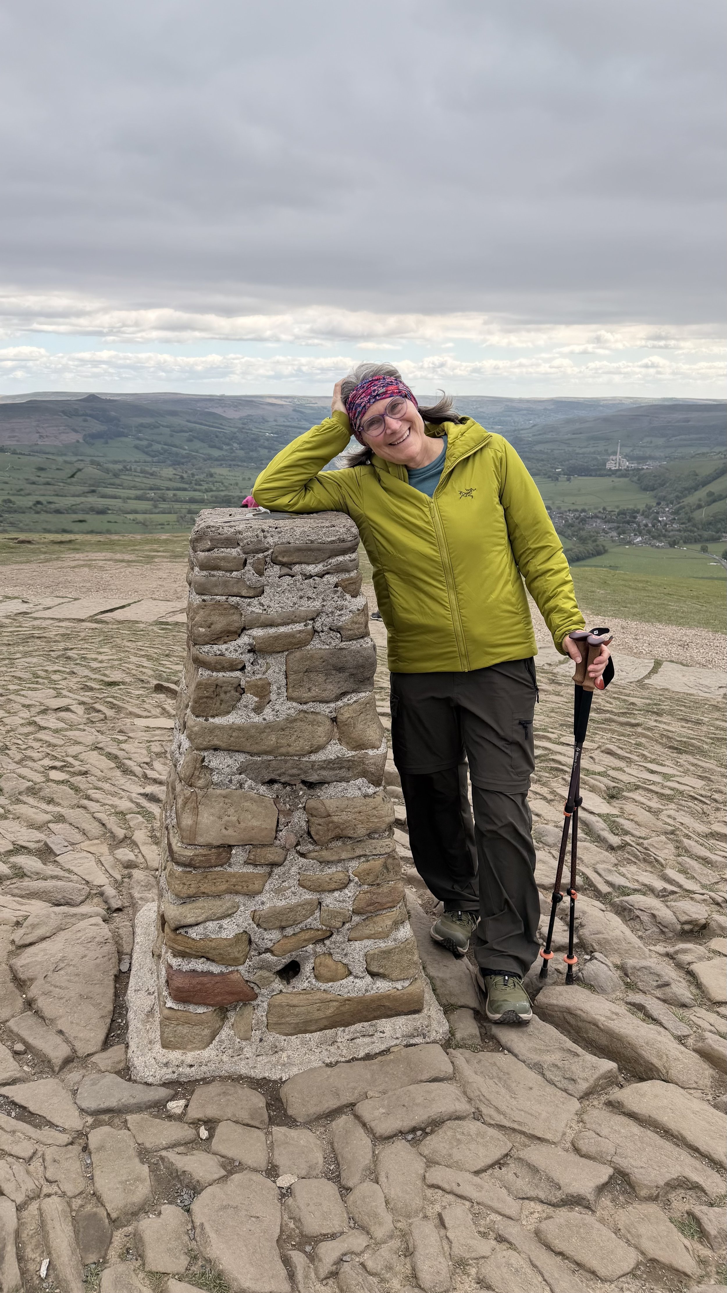
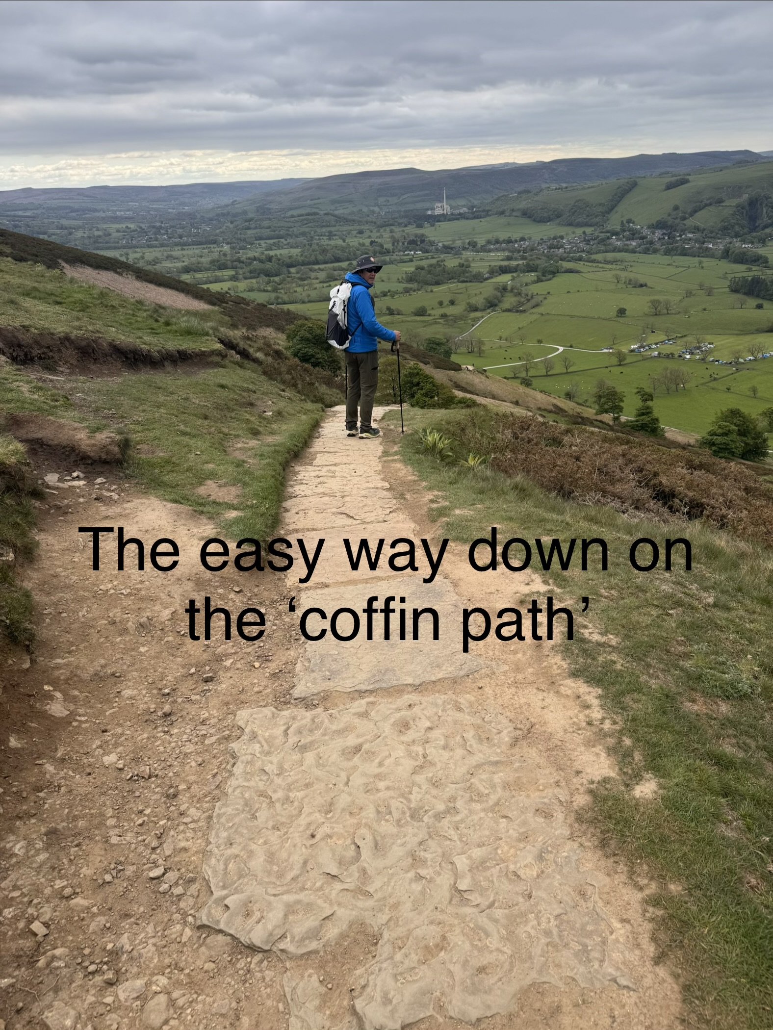
We’ve been walking the pathways all round and up and down the valley’s surrounding hills, particularly popular is the peak of Mam Tor. I’ve spent weeks on paths where I have not seen a soul, but today there was a line to climb the path up the tor. Everybody is out rambling about! This is a spectacular landscape. It’s very grassy, steep in parts, muddy here and there, and rocky occasionally. The views of the Edale Valley and ridges beyond are beautiful. That’s where we will be walking in a couple more days. The vegetation is low; a small tree that looked big from the right angle made us smile. It is old land: Neolithic peoples walked these hills and valleys, there is a Bronze Age hill fort on Mam Tor, and many lingering signs of the Iron Age Celtic tribe, the Brigante, in place names and customs. There is a Roman road - now just a country path, the ruins of Peveril Castle built by William the Conquerer’s son in 1080 just above our cottage, many large caves with mining history going back centuries that made this a very industrialized and hard area for the mining families, and there is a coffin path over the ridge via the easiest route from Edale on which people carried their dead to be buried in Castleton before Edale had their own church. We chose to take this easier route down today.
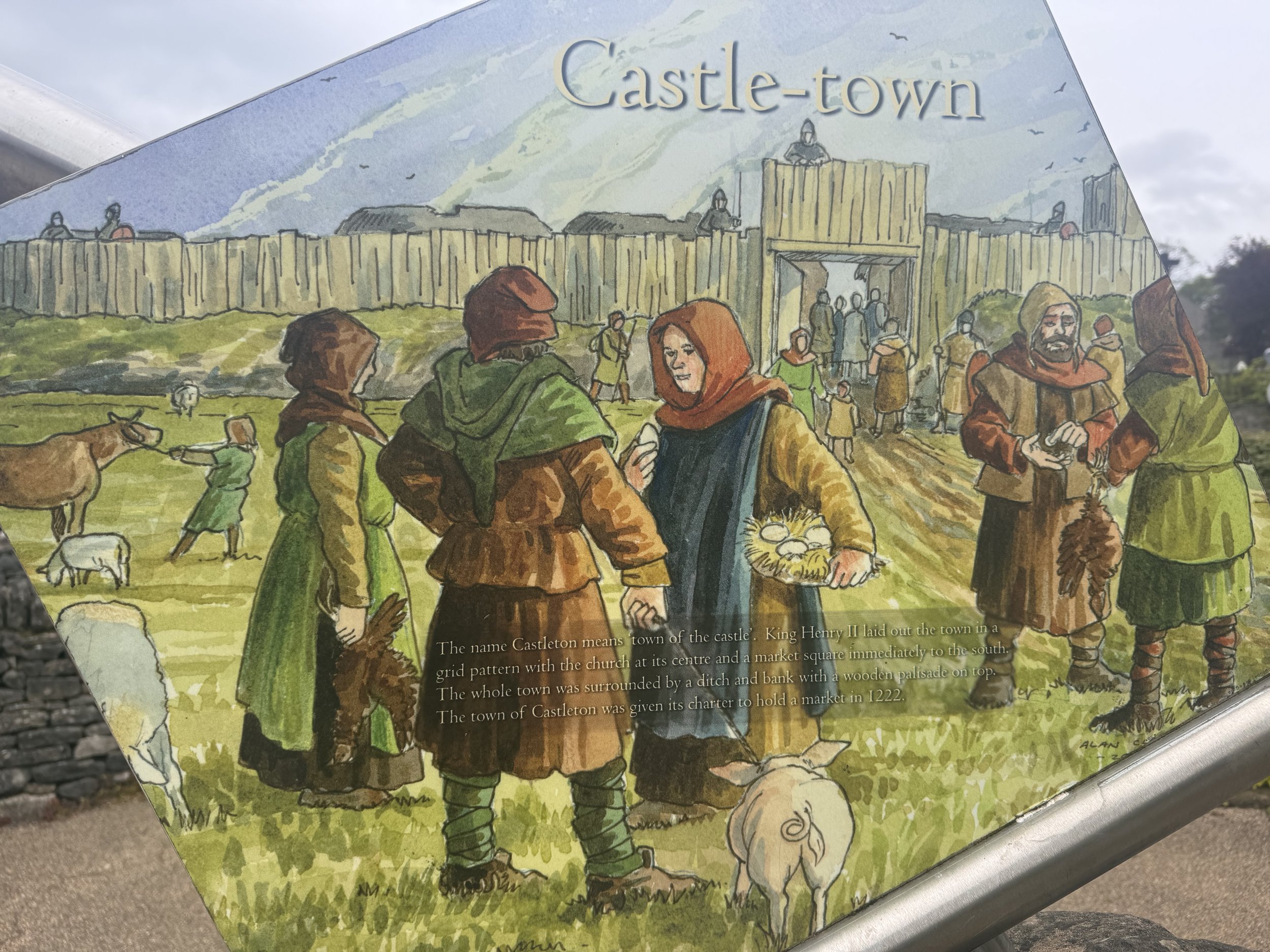
There are also many tea shops and six pubs. It is a popular place after all. The town is named for the castle (castle + town); its street grid that exists today was laid out by Henry II in 1160s, and you can still see the small slope/moat that was built to protect the town with a wooden barricade built up higher. Today the sheep are enjoying its lush grass. I took a photo of the infographic so you can see what medieval town would have looked like.
I am very happy to report that while the blisters have not completely healed, they are not causing any pain and I think with protective measures, the new shoes, and enthusiasm, I’m going to be just fine to start the next (tough) part of my journey on Tuesday. Thank you for all the well wishes and healing prayers! I am still frustrated and sad that I had to deviate a bit from the original plan, but sometimes it’s necessary to evaluate and balance potential risks with safety. I have gained more than I have lost, and enjoyed experiences I never could have planned for. It is such a cliché, but turns out that yeah, the journey might be the most valuable part of this whole thing. A kind of destination in itself, to myself and how I handle things when push comes to shove.