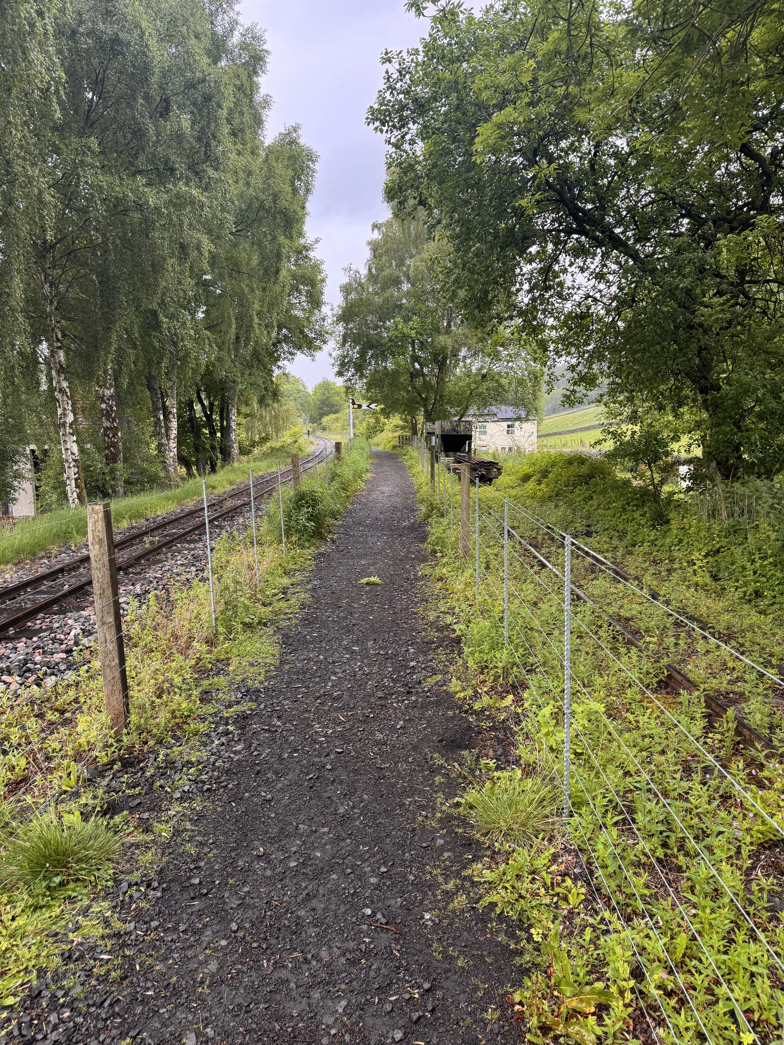
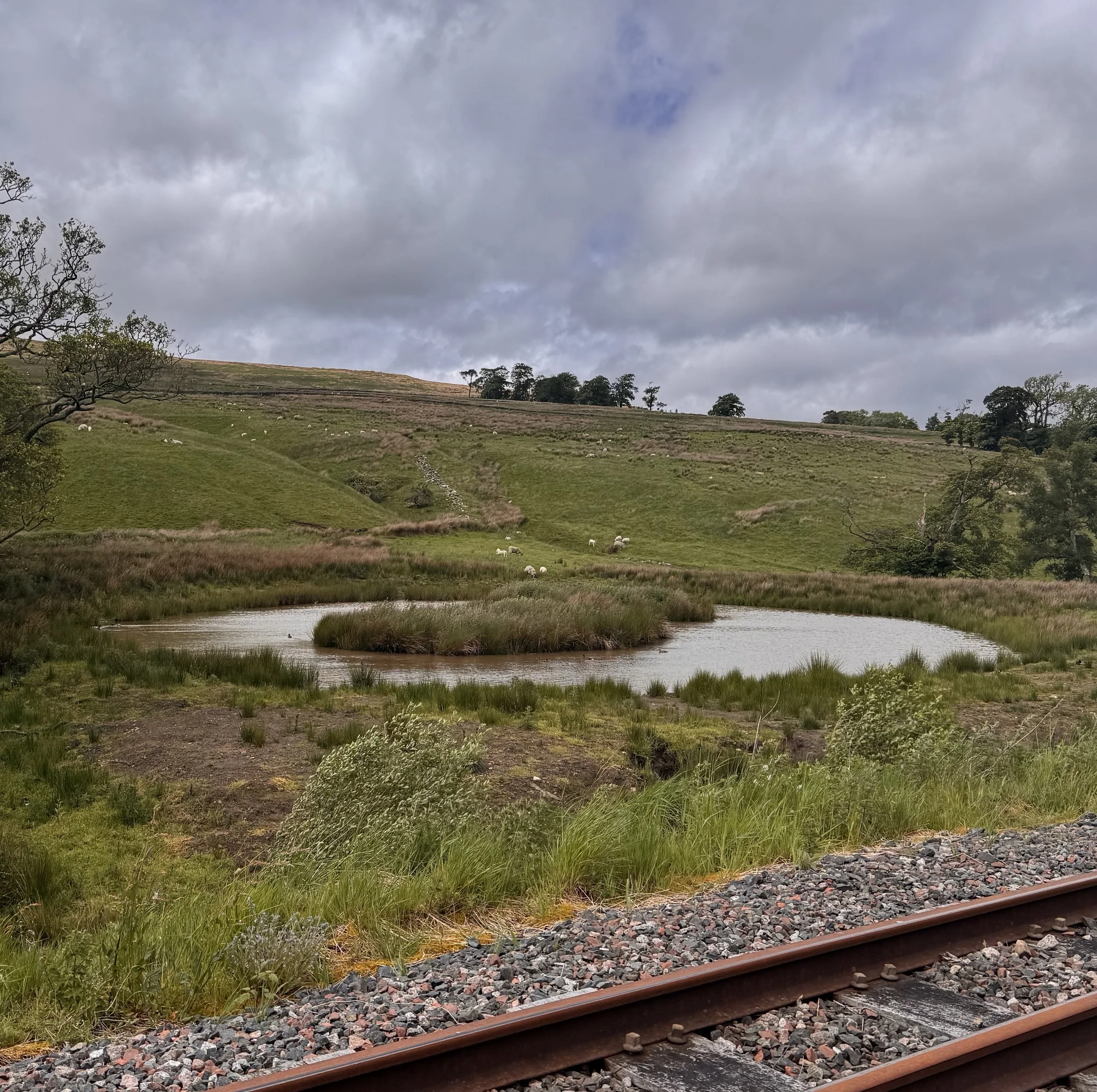
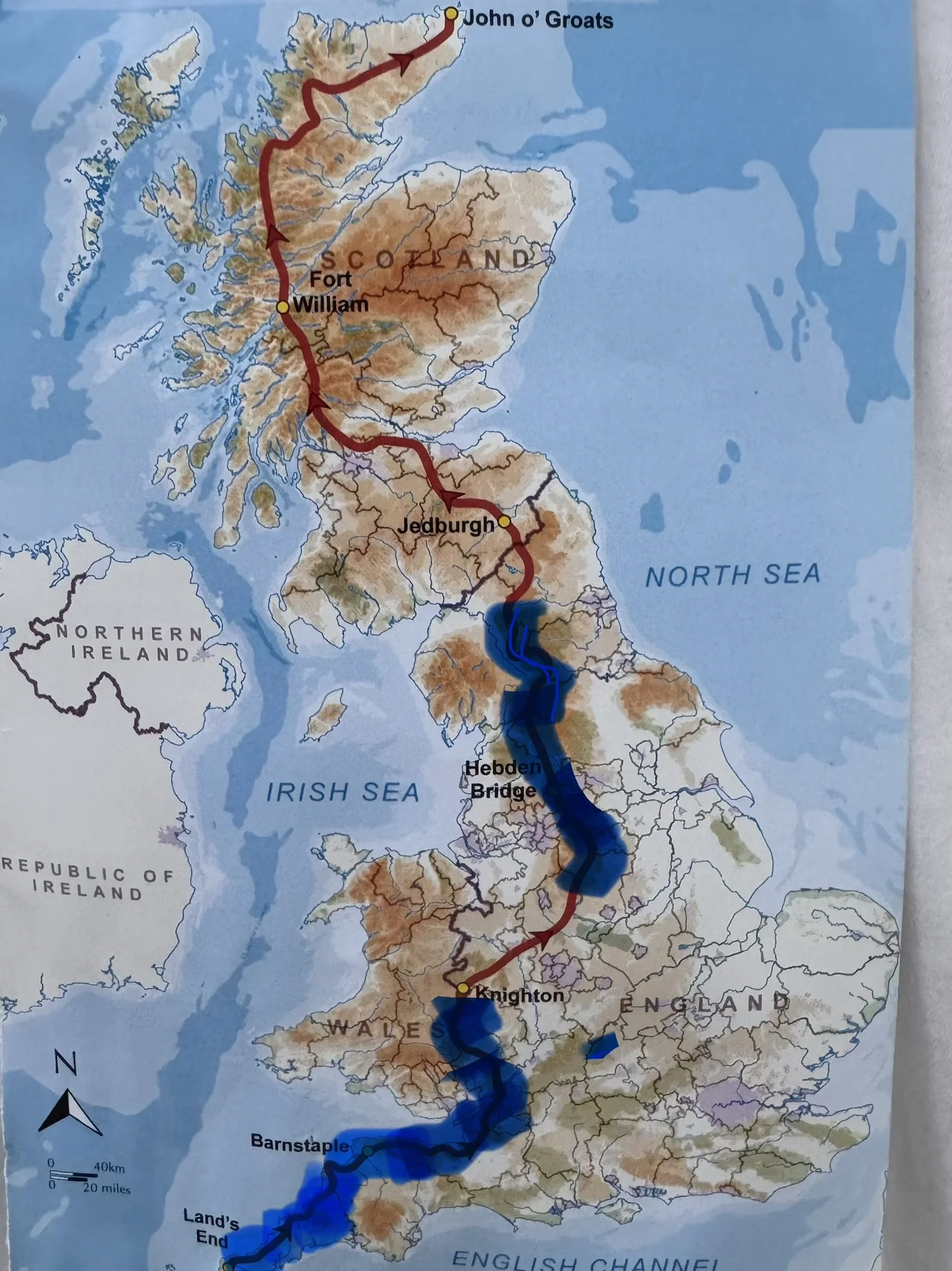
Today marks 9 weeks on the walking across Britain trail, and I celebrated with an easier day than recent ones. It was 7 miles along the South Tyne heritage steam railway trail, so pretty much no ascent change. Most people do this stretch towards Hadrian’s Wall in one big day, but we’re taking a relaxing two. We’ve decided to take this easier, drier-on-the-ground path because, well, the wet fields and boggy stretches are just frustrating, messy and demoralizing. We’ll rejoin the Pennine soon enough, and I’m sure all that wet ground will be waiting for us after the many rainy days.
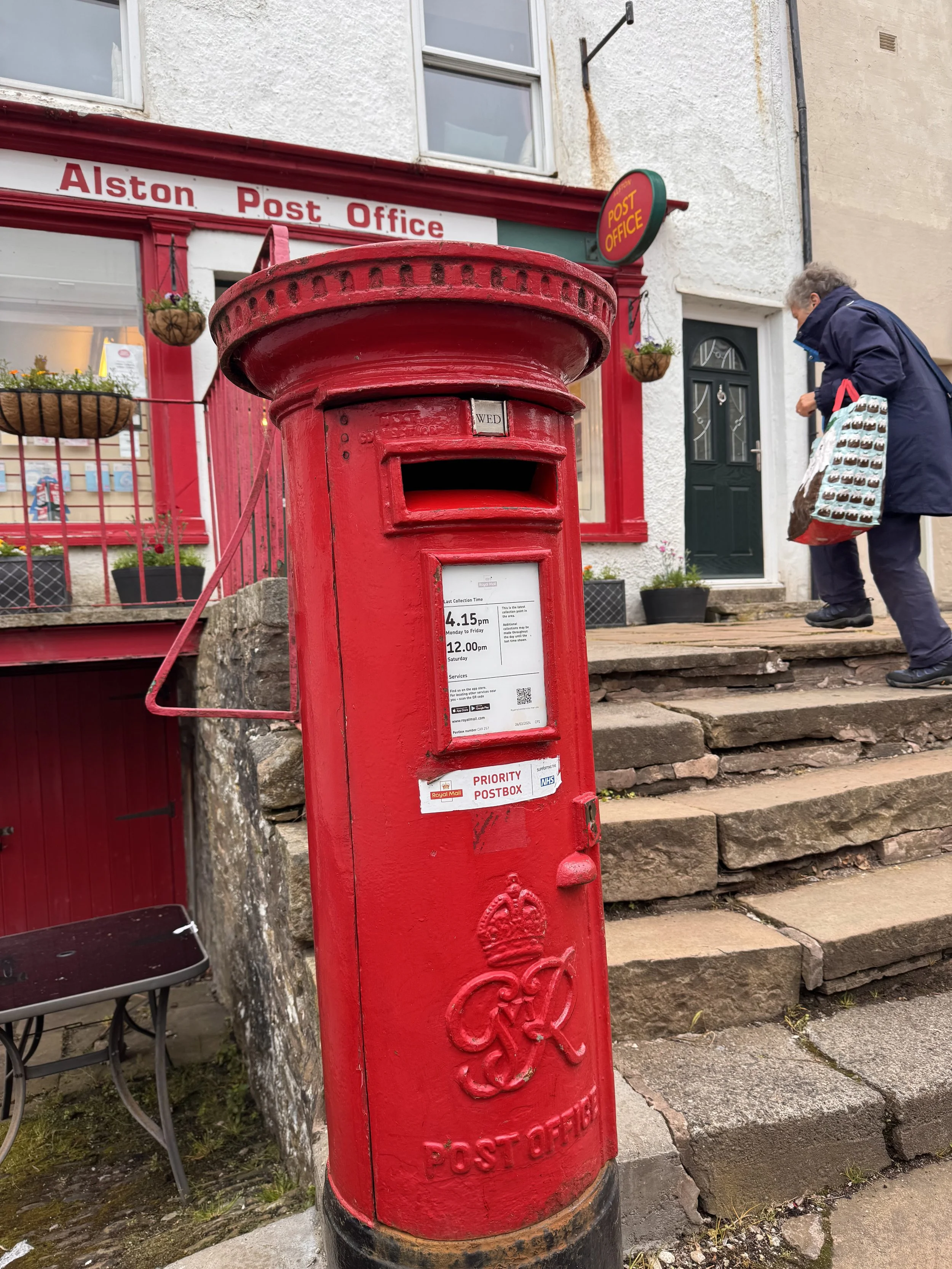
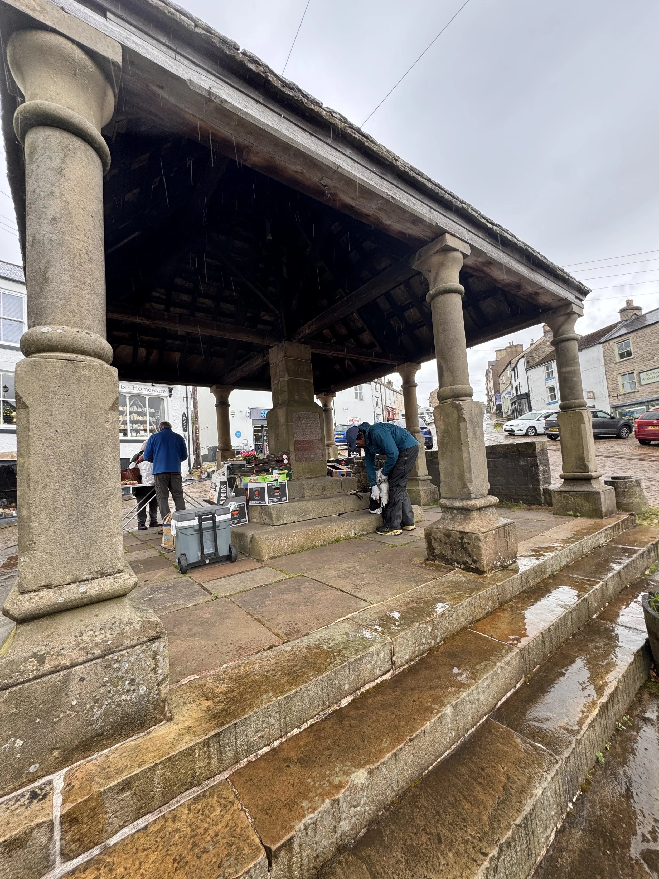
It was forecasted today to rain a lot (that seems to be a theme for the next 10 days at least. Sigh.) And it did rain, right from the start so I started off all kitted out in rain gear, but then it miraculously cleared for most of the few hours I walked. We started out getting some cash at the post office, in lieu of an ATM, and wandered around Alston reading blue history plaques on buildings. Wednesday seems to be market day, with one stall open. It seems the town was really hopping in the first part of the 20th century, with all the mineral mines in the area. There were nice views along the railway path; unfortunately not of the narrow gauge steam trains because they don’t run on Wednesdays. We met an elderly man walking (there seem to be a lot them alone out here on the footpaths), and he read the interpretive signs with us, filling in extra tidbits of a local’s information. I asked if he grew up around here (he had a very thick northern accent I could barely understand, especially with the wind swirling around), and he quickly responded, “oh, no, no. I’m from Haltwhistle way. Been here 30 years plus.” Haltwhistle is a town 10 miles further up the train track trail. Bill and I held our chuckles, but as he turned back toward Alston, done with his daily walk, and we made sure he was out of earshot, we cracked up that, to him, his geographical identity is defined by 10 mile increments.
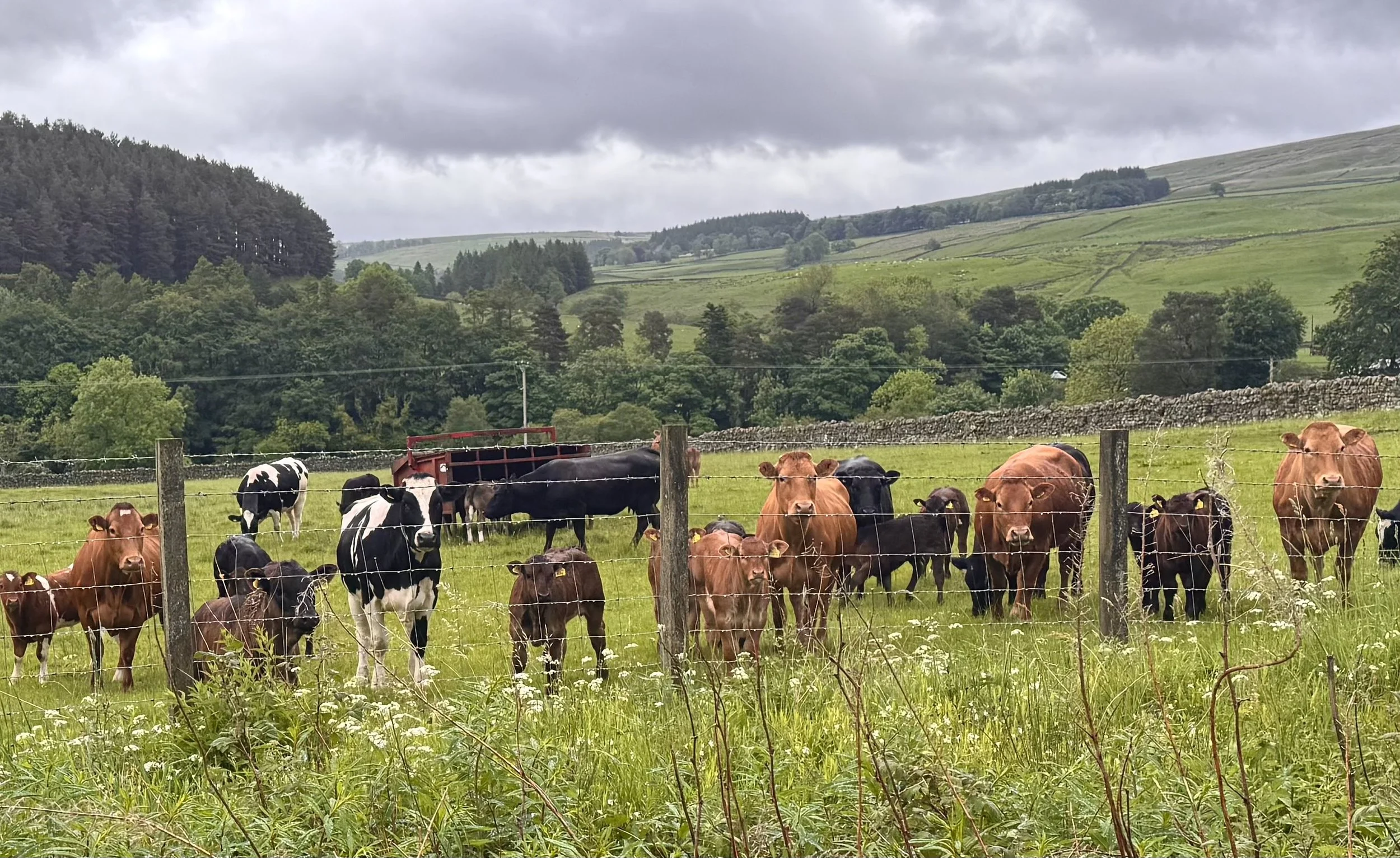
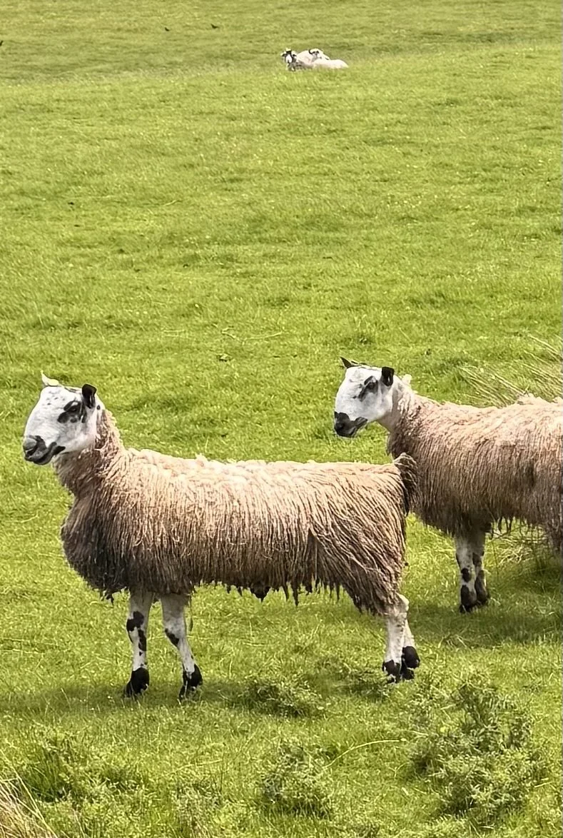
The walk was not long, but we could peak into back gardens full of intricate plantings, saw a couple unusual sheep breeds, excited some cows that wanted a staring contest, and passed near to a large Roman settlement and the fort of Epiacum. Even earlier it was a Brigantes Iron Age village, the Romans built a substantial fort here to protect their lead mines in the area, and to add support for the soldiers stationed at Hadrian’s Wall. They occupied and grew this Romano-British settlement over 300 years, before leaving it around the 4th century AD. Two interesting things about it, according to the information boards: 1) it is considered the most complex and best preserved of all Roman forts anywhere. Well preserved due to its remoteness, and 2) there isn’t really much to see because it has been largely unexcavated, but there is extensive knowledge of its make-up and size because archeologists can use advanced lidar and seismic tools now. And they use moles, sifting through the dirt they push up when digging to find artifacts to date and study activities in Roman fort life. This really made me laugh: the height of technology and mole debris. Whatever way the information comes, don’t knock it I guess.
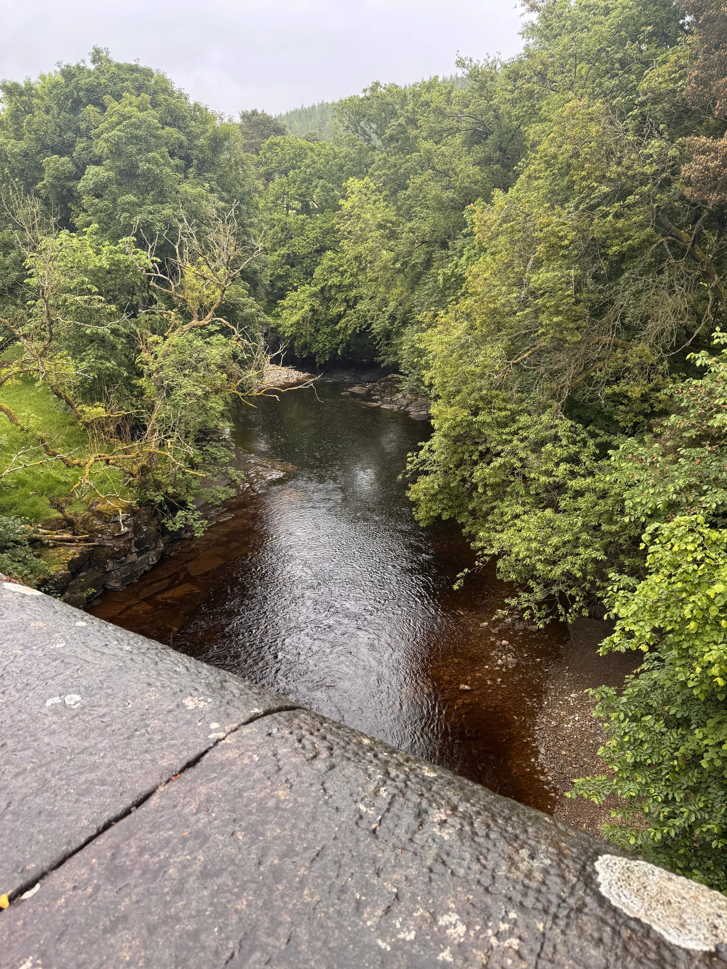
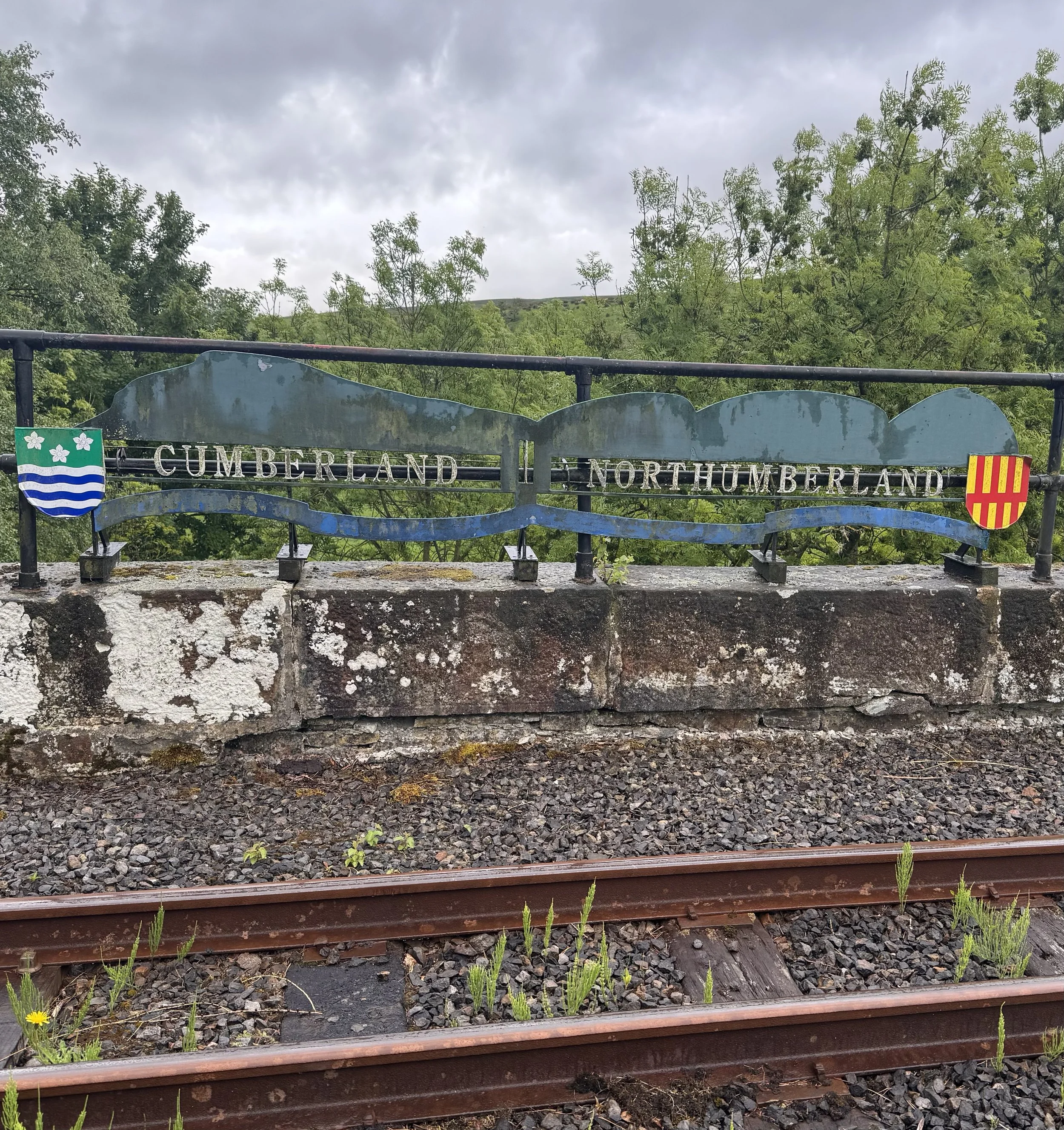
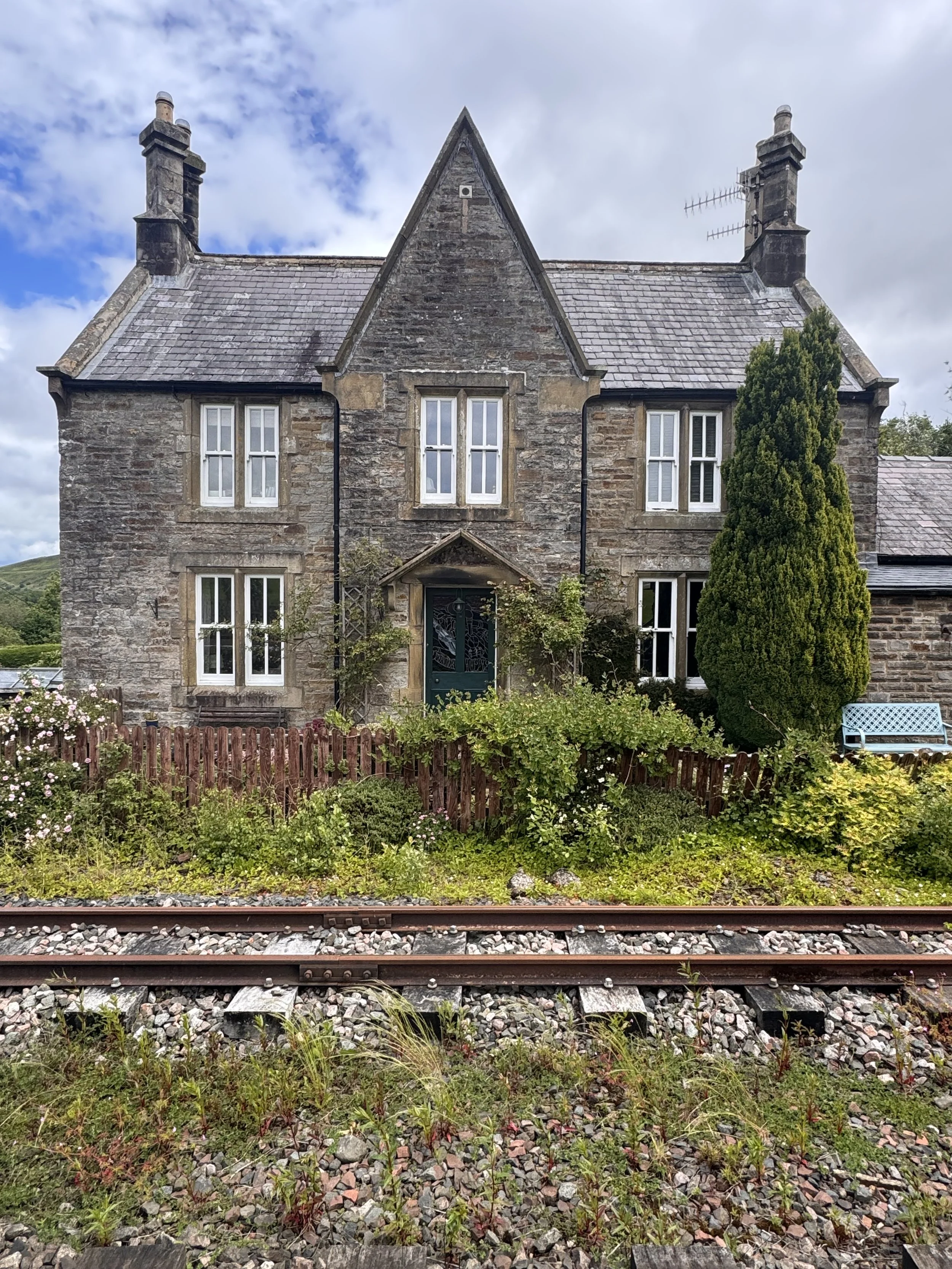
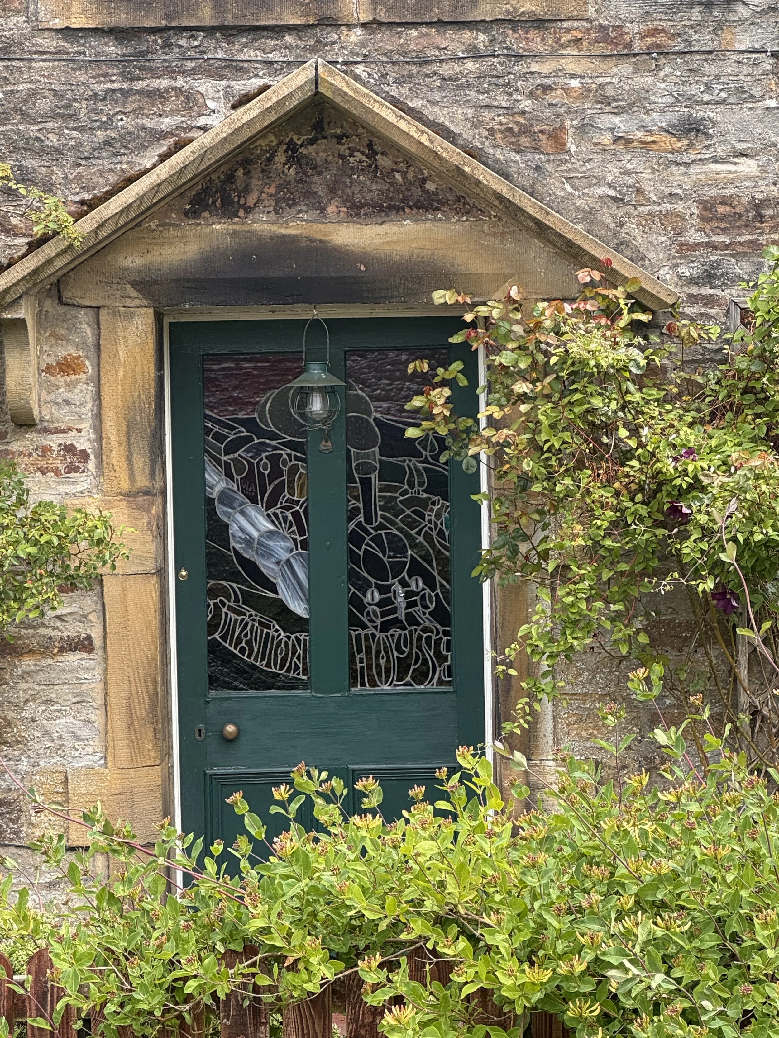
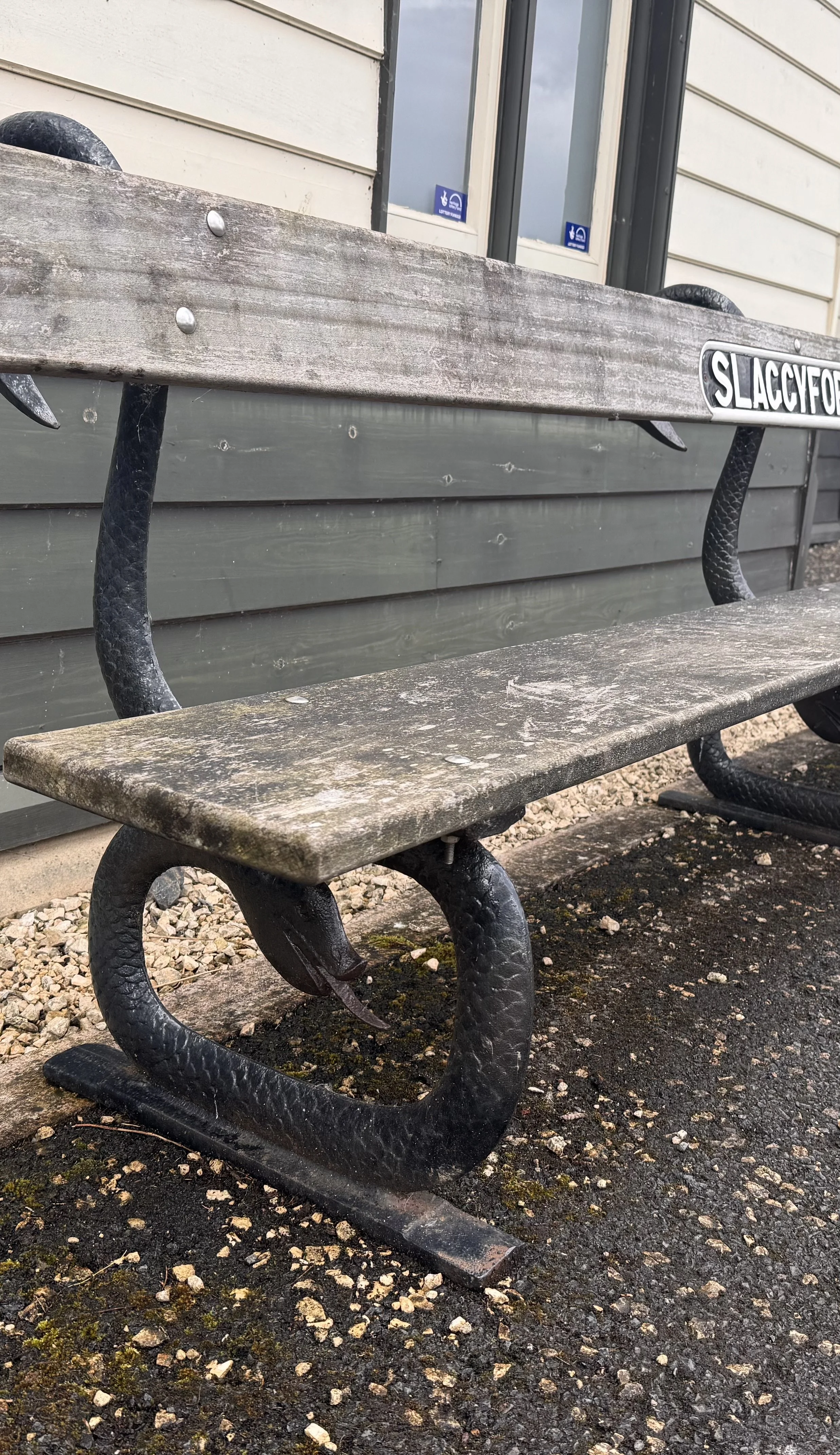
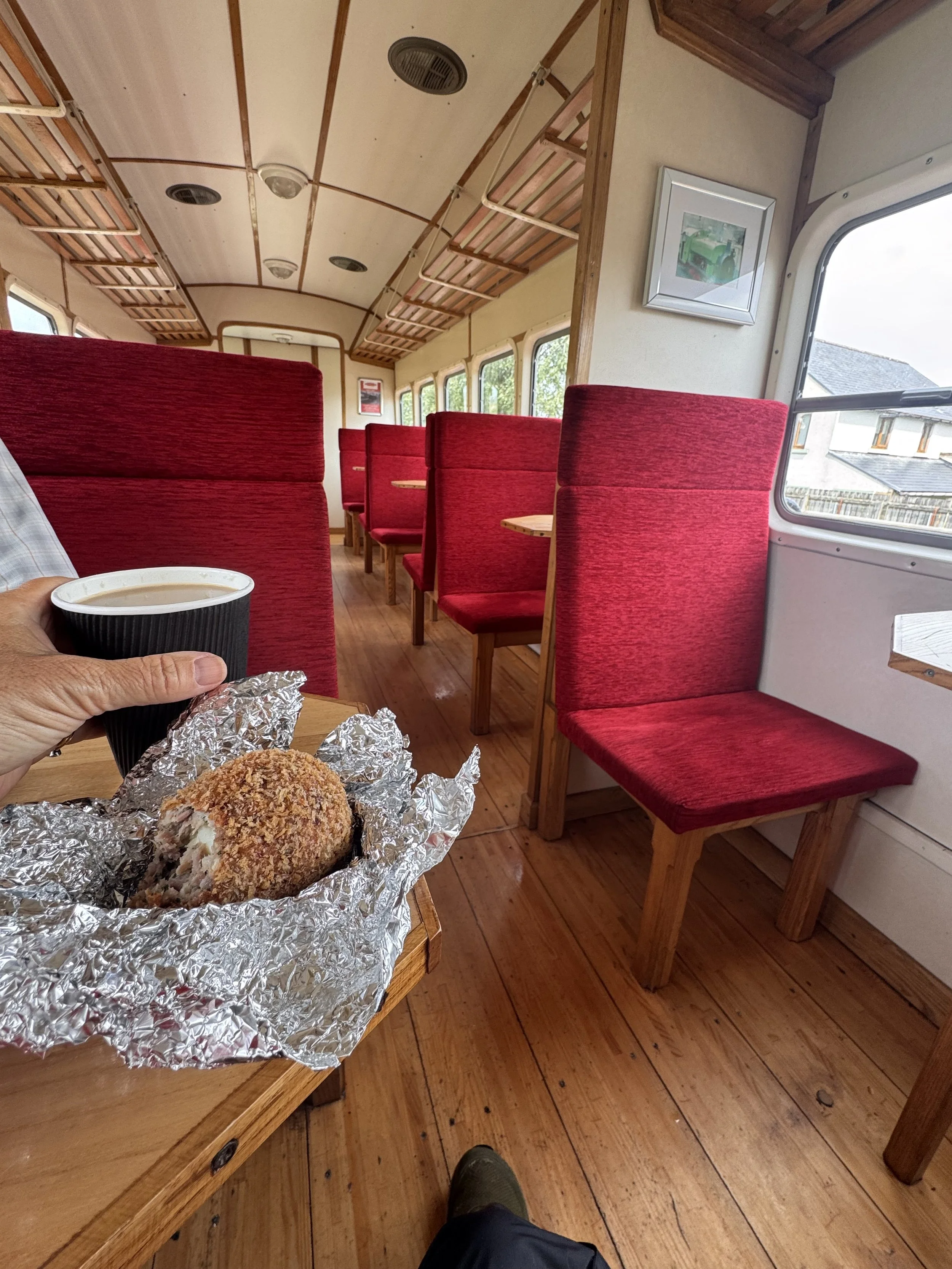
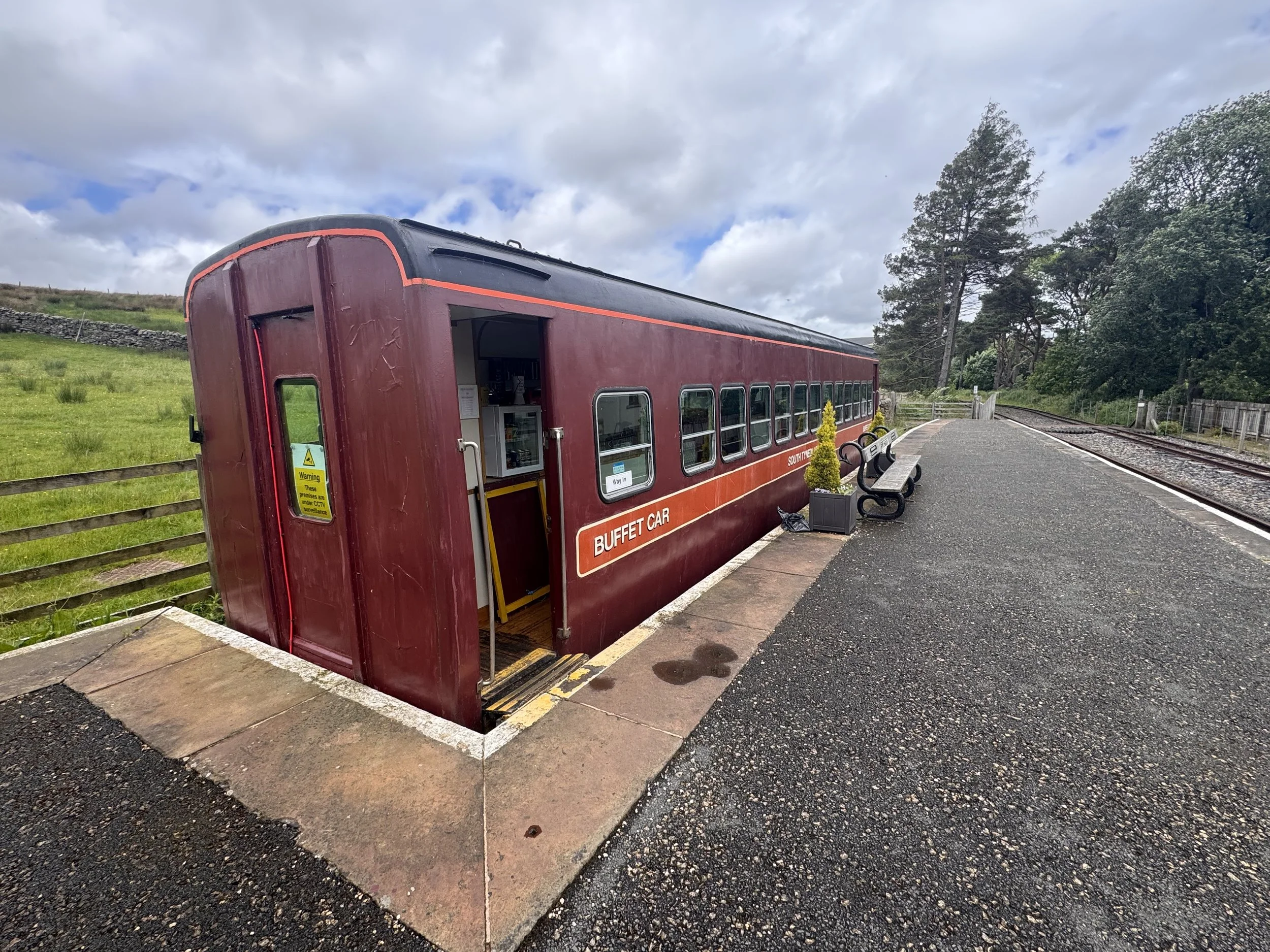
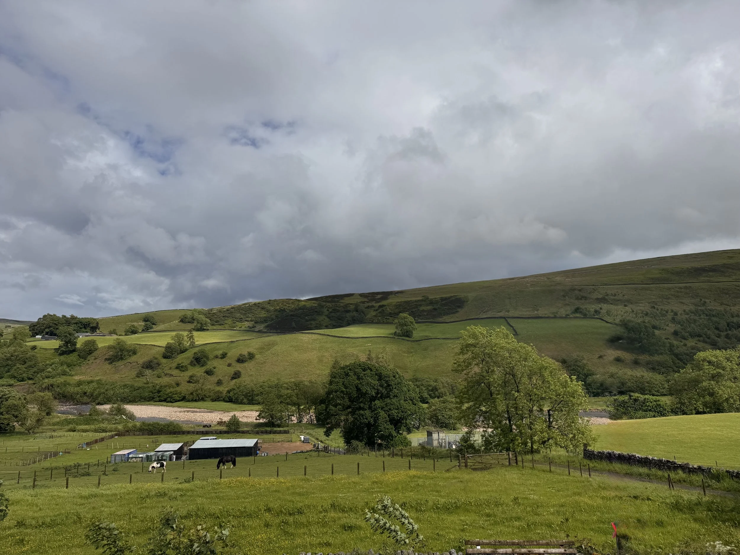
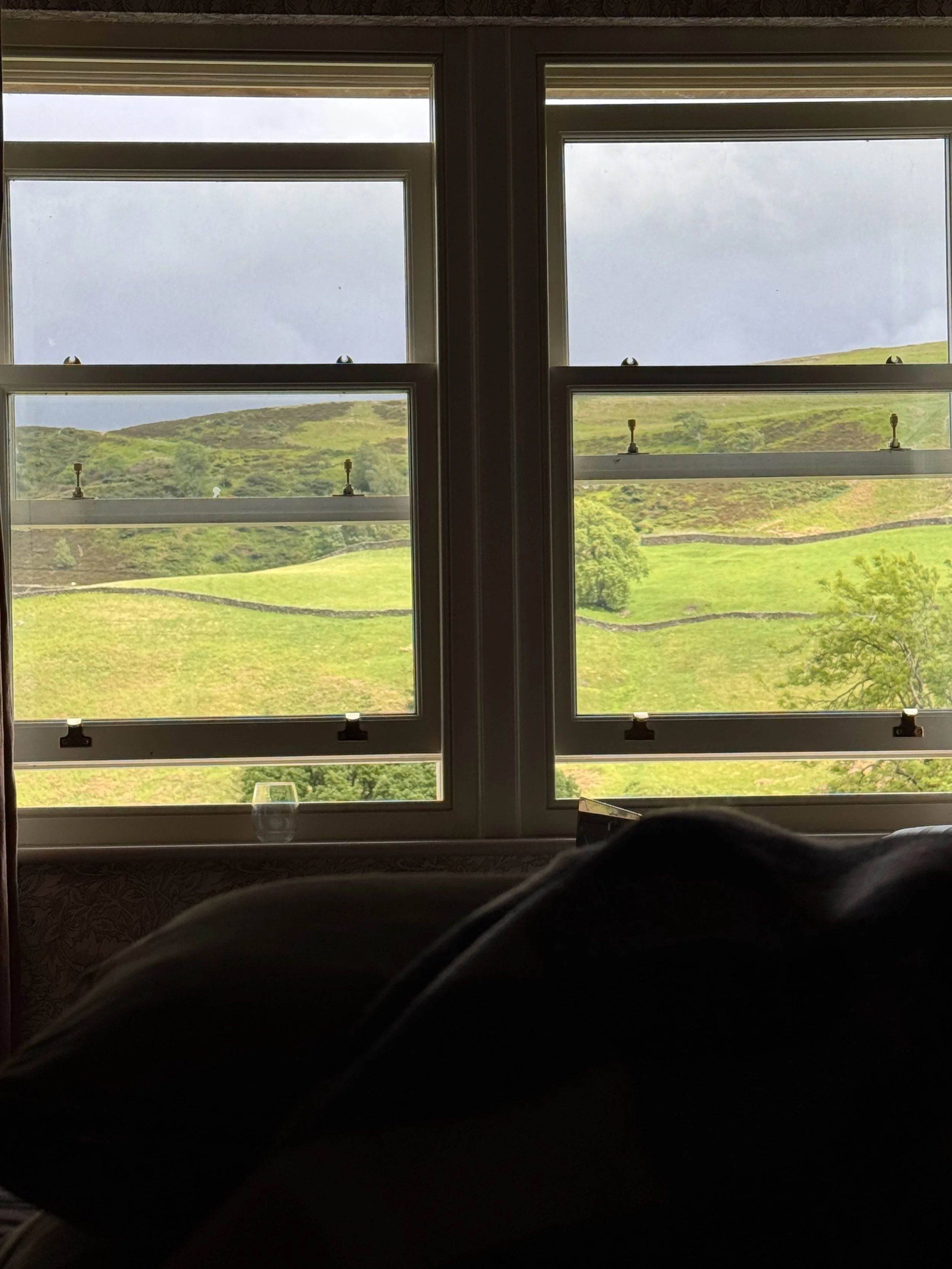
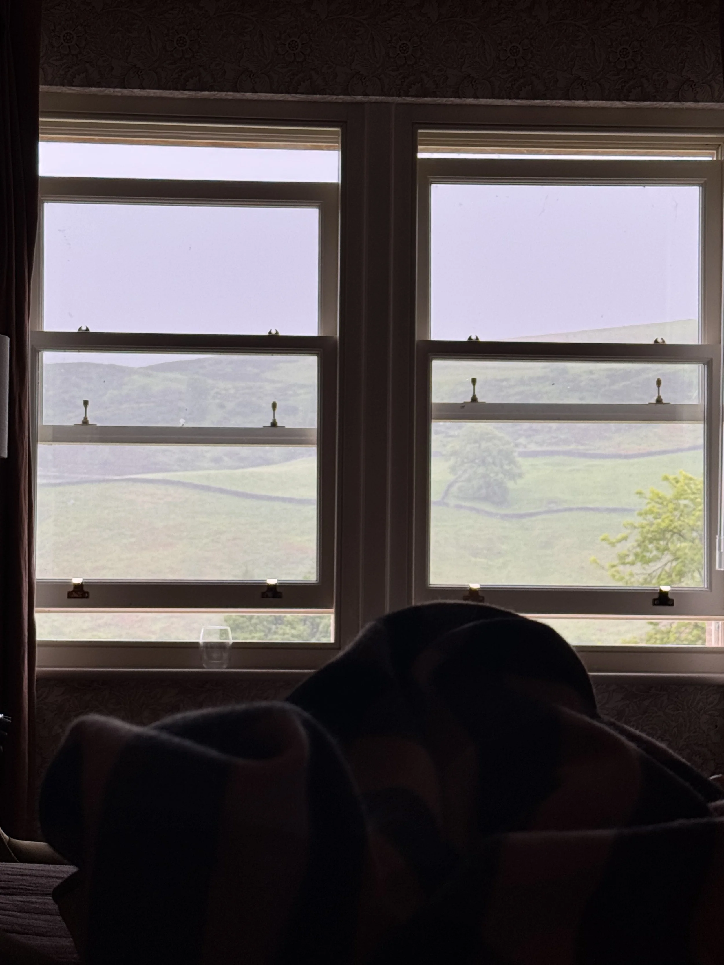
We crossed from Cumberland to Northumberland, and came eventually to Slaggyford (slaggy = dirty, muddy, ford = low river crossing area); the River Tyne is churned up along this stretch so the water is brown looking. Slaggyford is the last stop of the steam train, and the café car was open. We ordered a cup of tea and had lunch inside the old train carriage. Thankfully, because the benches on the platform freaked me out a little bit with their snakes as legs. Ironic really, as structural elements go. There is a nice station master’s house, now just a private dwelling with a really beautiful train focused stained glass window. It was here where we had to leave the trail to walk on the road to our very fancy accommodation for the night, The Kirkstyle Inn and Sportsman’s Rest. It is one of the nicest places I’ve ever stayed, and the food is amazing. The rain continued to be held in the clouds until we arrived and were comfortably in our room, looking out on the gorgeous farmland owned by the Knarland estate; they also run the hotel. Most of the food served in the restaurant comes from the land out the window. I did some yoga and moved my body in ways other than walking, and it felt so good. Then I just encamped on the bed all the rest of the afternoon looking out on the hillside as the rain finally poured down. It came, it went, it came again, a constantly changing scene enjoyed from the comfort of being tucked under a soft blanket with a cup of tea.
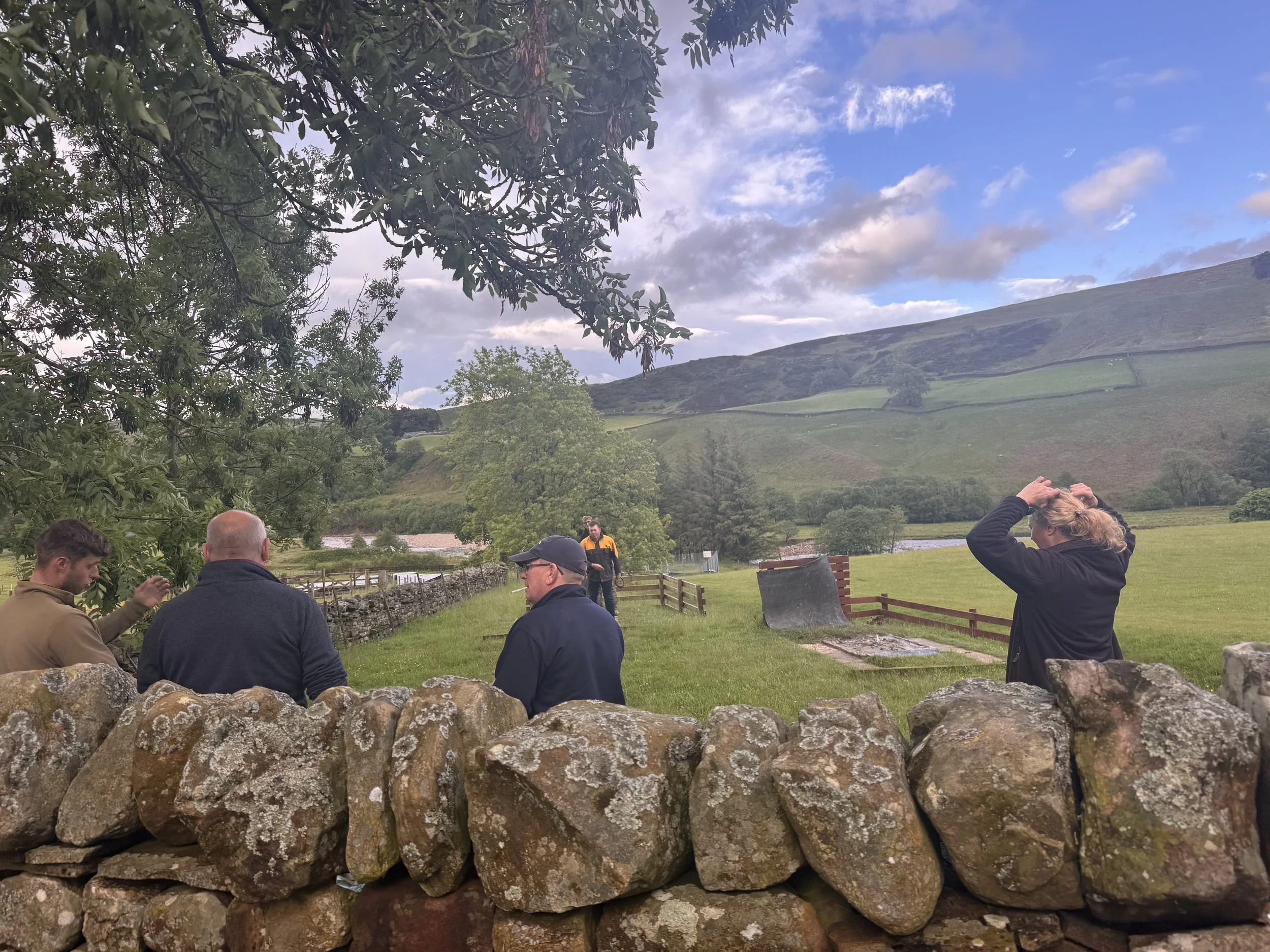
I dragged myself out from under its warmth to go downstairs to dinner. Afterwards we took a walk around the neighborhood and to the churchyard. There was a group of locals enjoying a very muddy game of horseshoes in the evening cool air, clouds finally empty of rain as twilight came on.
In other walking news, as of this week I have walked 1,357,000 steps and climbed 75,560 feet of ascent since April 1st. In case you’re curious. And frustratingly, I haven’t moved northwards towards Scotland quite as much as my feet think they should deserve because the Pennine Way’s purpose is to take in the beauty and interesting features of the mountains of northern England. Therefore, it jogged southwest over the last couple of days to show us the beauty of those high fells and geological wonders that were obscured by rain and cloud. Oh well, it’s all about the journey, and the path can be circuitous.